Area Overview for SA33 5JQ
Photos of SA33 5JQ
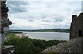
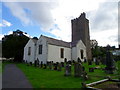
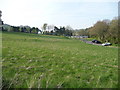
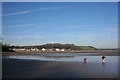
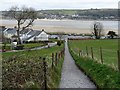
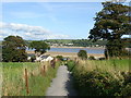
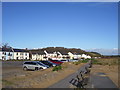
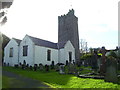
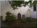
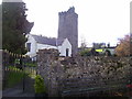
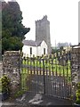
78 photos from this area
Area Information
Key information about the SA33 5JQ including its size, population, and administrative classification.
- Area Type
- Postcode
- Area Size
- 5394 m²
- Population
- 1971
- Population Density
- 34 people/km²
House Prices in SA33 5JQ
8
Properties
£307,130
Average Sold Price
£165,000
Lowest Price
£452,780
Highest Price
Showing 8 properties
| Address | Type | Beds | Baths | Last Sale Price | Last Sale Date | |
|---|---|---|---|---|---|---|
| Albion House, High Street, Llansteffan, Carmarthen, SA33 5JQ | house | 4 | 2 | £452,780 | Mar 2025 | |
| Lakefield Villa, High Street, Llansteffan, Carmarthen, SA33 5JQ | Terraced | 4 | 2 | £300,000 | Apr 2024 | |
| Cambria, High Street, Llansteffan, Carmarthen, SA33 5JQ | Semi-detached | 3 | 2 | £430,000 | Mar 2021 | |
| Parc Glas Villa, High Street, Llansteffan, Carmarthen, SA33 5JQ | Semi-detached | 5 | 1 | £165,000 | Apr 2019 | |
| Bonville, High Street, Llansteffan, Carmarthen, SA33 5JQ | house | - | - | £230,000 | Aug 2011 | |
| Cartref, High Street, Llansteffan, Carmarthen, SA33 5JQ | Terraced | - | - | £265,000 | Oct 2007 | |
| Bristol House, High Street, Llansteffan, Carmarthen, SA33 5JQ | Terraced | - | - | - | - | |
| Arwel, High Street, Llansteffan, Carmarthen, SA33 5JQ | house | - | - | - | - |
Energy Efficiency in SA33 5JQ
Amenities
Schools
| Rank | School | Type | Entry gender | Ages |
|---|
Explore more schools in this area
Go to Schools tabDemographics
Household Size
Two person
most common
Accommodation Type
Houses
most common
Tenure
84
majority
Ethnic Group
White
most common
Religion
N/A
most common
Household Composition
N/A
most common
Age
47
median
Adults (30-64 years)
most common
Household Deprivation
N/A
with no deprivation
NS-SEC
38
in Lower managerial occupations
Explore more demographic insights in this area
Go to Demographics tabPlanning
Planning Constraints
- Flood RiskPremium
- Ramsar Wetland SitesPremium
- Area of Outstanding Natural BeautyPremium
- Protected Nature ReservePremium
- Protected WoodlandPremium
- Crime RiskPremium