Area Overview for SA19 6BY
Photos of SA19 6BY
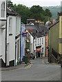
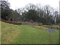
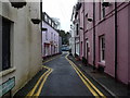
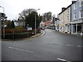
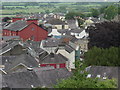
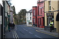
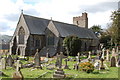

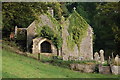
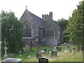
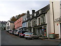
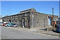
Area Information
Living in SA19 6BY means residing within a specific residential cluster in Wales, characterised by a compact population of 1,449 residents. The area sits at a high population density of 740 people per square kilometre, creating an environment where neighbours are likely within easy reach. This postcode covers a small footprints that avoids the sprawl of larger towns, offering a distinct sense of locality rather than anonymity. Residents navigate streets where the close proximity of homes fosters a community feel often found in village settings. Daily life revolves around this concentrated settlement, where the immediate surroundings hold most of the daily necessities. The area functions as a self-contained unit for its inhabitants, minimising the need for long commutes to find essential services.
- Area Type
- Postcode
- Area Size
- Not available
- Population
- 1449
- Population Density
- 740 people/km²
The property market in SA19 6BY is dominated by houses, with fewer flats or apartments present in this specific postcode. A 55 per cent home ownership rate indicates that the majority of residents buy their homes outright or via mortgage rather than renting. This statistic suggests a stable market where families settle for the long term. The housing stock is primarily suited to individuals or families seeking residential clusters rather than high-density living. Buyers looking at this area should expect to find traditional homes that serve the local population's needs. The market dynamics reflect a local priority for ownership, limiting the influx of short-term rentals. Prospective buyers here are likely purchasing properties intended for permanent residency within this Welsh residential zone.
House Prices in SA19 6BY
No properties found in this postcode.
Energy Efficiency in SA19 6BY
Residents of SA19 6BY enjoy convenient access to local amenities within practical reach. For rail travel, there are five nearby stations including Llandeilo Railway Station, Ffairfach Railway Station, and Llandybie Railway Station. These stops provide regular train services connecting you to wider Wales. For shopping needs, three major retailers line your route. You can visit Co-op Llandeilo, Co-op Former, Co-op Ammanford, and potentially other smaller local shops found in the village square. These venues offer groceries and essentials without a long journey to a larger town centre. The distribution of five railway stations and three major co-operatives ensures that work and daily shopping remain accessible. Life here balances local convenience with straightforward transport links to the region.
Amenities
Schools
Families living in SA19 6BY have access to three specific educational institutions within practical reach. The nearest options include Ysgol Gynradd Ffairfach, which serves as a local educational provider. Another nearby option is Ysgol Gymraeg Teilo Sant, offering education with a distinct curricular focus. Residents also have proximity to Llandeilo C.P. School for their children. All three schools listed in the local data are categorised as 'other' types, meaning they do not hold a standard Ofsted rating available for public inspection in this dataset. The presence of these schools indicates that families do not need to travel far for primary education. The mix of institutions provides choices based on language and location needs rather than top-tier performance ratings.
| Rank | School | Type | Entry gender | Ages |
|---|
Explore more schools in this area
Go to Schools tabDemographics
The community in SA19 6BY is defined by an established demographic profile, with a median age of 47 years. The most common age range for residents falls between 30 and 64 years, indicating a population weighted towards middle adulthood. This age distribution suggests a neighbourhood stabilised by long-term residents rather than a transient student population. Home ownership stands at 55 per cent, reflecting a significant stake by locals in their immediate environment. The predominant accommodation type consists of houses, aligning with the preferences of families and older households. Demographic data shows the predominant ethnic group is White, mirroring the broader regional composition of the area. These figures paint a picture of a mature, settled community where stability is the norm.
Household Size
Accommodation Type
Tenure
Ethnic Group
Religion
Household Composition
Age
Household Deprivation
NS-SEC
Explore more demographic insights in this area
Go to Demographics tabPlanning
Planning Constraints
- Flood RiskPremium
- Ramsar Wetland SitesPremium
- Area of Outstanding Natural BeautyPremium
- Protected Nature ReservePremium
- Protected WoodlandPremium
- Crime RiskPremium