Area Overview for SA19 6BH
Photos of SA19 6BH
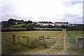
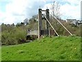
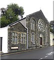
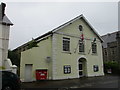
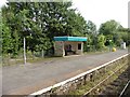
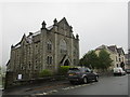
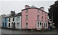
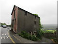
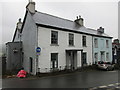
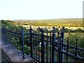
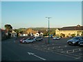
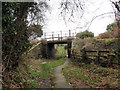
88 photos from this area
Area Information
Key information about the SA19 6BH including its size, population, and administrative classification.
- Area Type
- Postcode
- Area Size
- 3.8 hectares
- Population
- 1509
- Population Density
- 33 people/km²
House Prices in SA19 6BH
23
Properties
£130,321
Average Sold Price
£28,000
Lowest Price
£318,250
Highest Price
Showing 23 properties
| Address | Type | Beds | Baths | Last Sale Price | Last Sale Date | |
|---|---|---|---|---|---|---|
| 8 Church Street, Llandeilo, SA19 6BH | Terraced | 3 | 1 | £176,500 | Jul 2025 | |
| 22 Church Street, Llandeilo, SA19 6BH | house | - | - | £318,250 | Oct 2022 | |
| 16 Church Street, Llandeilo, SA19 6BH | house | 2 | 1 | £150,000 | May 2022 | |
| 6 Church Street, Llandeilo, SA19 6BH | Terraced | 2 | 1 | £108,000 | Dec 2020 | |
| 7 Church Street, Llandeilo, SA19 6BH | Terraced | 1 | 1 | £123,000 | Dec 2017 | |
| 10 Church Street, Llandeilo, SA19 6BH | Terraced | 2 | 1 | £51,500 | Jul 2017 | |
| 3 Church Street, Llandeilo, SA19 6BH | house | - | - | £240,000 | Jun 2017 | |
| 19 Church Street, Llandeilo, SA19 6BH | Terraced | - | - | £220,000 | Dec 2009 | |
| 21 Church Street, Llandeilo, SA19 6BH | Terraced | - | - | £150,000 | Sep 2006 | |
| 13 Church Street, Llandeilo, SA19 6BH | Terraced | - | - | £100,000 | Nov 2002 |
Page 1 of 3
Energy Efficiency in SA19 6BH
Amenities
Schools
| Rank | School | Type | Entry gender | Ages |
|---|
Explore more schools in this area
Go to Schools tabDemographics
Household Size
Two person
most common
Accommodation Type
Houses
most common
Tenure
84
majority
Ethnic Group
White
most common
Religion
N/A
most common
Household Composition
N/A
most common
Age
47
median
Adults (30-64 years)
most common
Household Deprivation
N/A
with no deprivation
NS-SEC
41
in Lower managerial occupations
Explore more demographic insights in this area
Go to Demographics tabPlanning
Planning Constraints
- Flood RiskPremium
- Ramsar Wetland SitesPremium
- Area of Outstanding Natural BeautyPremium
- Protected Nature ReservePremium
- Protected WoodlandPremium
- Crime RiskPremium