Area Overview for SA18 2AX
Photos of SA18 2AX

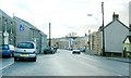
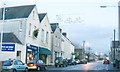

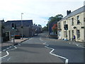
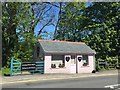
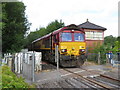
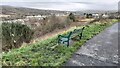
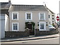

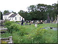
27 photos from this area
Area Information
Key information about the SA18 2AX including its size, population, and administrative classification.
- Area Type
- Postcode
- Area Size
- 6.8 hectares
- Population
- 1347
- Population Density
- 322 people/km²
House Prices in SA18 2AX
14
Properties
£74,136
Average Sold Price
£44,000
Lowest Price
£130,000
Highest Price
Showing 14 properties
| Address | Type | Beds | Baths | Last Sale Price | Last Sale Date | |
|---|---|---|---|---|---|---|
| 94 Folland Road, Glanaman, Ammanford, SA18 2AX | Semi-detached | 3 | 1 | £130,000 | Aug 2023 | |
| 88 Folland Road, Glanaman, Ammanford, SA18 2AX | house | - | - | £80,000 | Feb 2021 | |
| 90 Folland Road, Glanaman, Ammanford, SA18 2AX | Terraced | 3 | - | £67,500 | Sep 2016 | |
| 98 Folland Road, Glanaman, Ammanford, SA18 2AX | house | - | - | £94,950 | Dec 2006 | |
| 92 Folland Road, Glanamman, Ammanford, SA18 2AX | Terraced | 3 | 1 | £49,000 | Dec 2002 | |
| 74 Folland Road, Glanaman, Ammanford, SA18 2AX | Detached | 3 | 1 | £53,500 | Jun 2001 | |
| 72 Folland Road, Glanaman, Ammanford, SA18 2AX | Detached | - | - | £44,000 | Oct 1999 | |
| 80 Folland Road, Glanaman, Ammanford, SA18 2AX | Detached | - | - | - | - | |
| 82 Folland Road, Glanaman, Ammanford, SA18 2AX | Detached | - | - | - | - | |
| 84 Folland Road, Glanaman, Ammanford, SA18 2AX | house | - | - | - | - |
Page 1 of 2
Energy Efficiency in SA18 2AX
Amenities
Schools
| Rank | School | Type | Entry gender | Ages |
|---|
Explore more schools in this area
Go to Schools tabDemographics
Household Size
Two person
most common
Accommodation Type
Houses
most common
Tenure
66
majority
Ethnic Group
White
most common
Religion
N/A
most common
Household Composition
N/A
most common
Age
47
median
Adults (30-64 years)
most common
Household Deprivation
N/A
with no deprivation
NS-SEC
25
in Lower managerial occupations
Explore more demographic insights in this area
Go to Demographics tabPlanning
Planning Constraints
- Flood RiskPremium
- Ramsar Wetland SitesPremium
- Area of Outstanding Natural BeautyPremium
- Protected Nature ReservePremium
- Protected WoodlandPremium
- Crime RiskPremium