Area Overview for SA18 1BL
Photos of SA18 1BL
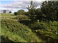
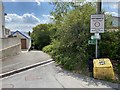
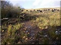
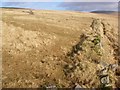
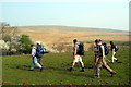
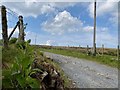
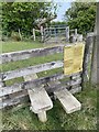
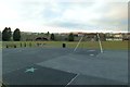
9 photos from this area
Area Information
Key information about the SA18 1BL including its size, population, and administrative classification.
- Area Type
- Postcode
- Area Size
- 9.0 hectares
- Population
- 1403
- Population Density
- 967 people/km²
House Prices in SA18 1BL
9
Properties
£131,200
Average Sold Price
£63,500
Lowest Price
£230,000
Highest Price
Showing 9 properties
| Address | Type | Beds | Baths | Last Sale Price | Last Sale Date | |
|---|---|---|---|---|---|---|
| 120 Llandeilo Road, Upper Brynamman, Ammanford, SA18 1BL | Semi-detached | 3 | 1 | £145,000 | Mar 2021 | |
| 122 Llandeilo Road, Upper Brynamman, Ammanford, SA18 1BL | house | 3 | - | £123,000 | Oct 2020 | |
| 116 Llandeilo Road, Upper Brynamman, Ammanford, SA18 1BL | Detached | 3 | 1 | £230,000 | Jun 2019 | |
| 118 Llandeilo Road, Upper Brynamman, Ammanford, SA18 1BL | Bungalow | - | - | £94,500 | Jul 2014 | |
| Gorwelhaf, 116A Llandeilo Road, Upper Brynamman, Ammanford, SA18 1BL | Detached | 4 | 1 | £63,500 | Mar 1998 | |
| Caravan, 118 Llandeilo Road, Upper Brynamman, Ammanford, SA18 1BL | Mobile Home | - | - | - | - | |
| Brohuan, Llandeilo Road, Upper Brynamman, Ammanford, SA18 1BL | Detached | - | - | - | - | |
| Gwaun Yr Esgair, 114 Llandeilo Road, Upper Brynamman, Ammanford, SA18 1BL | Bungalow | - | - | - | - | |
| 112 Llandeilo Road, Upper Brynamman, Ammanford, SA18 1BL | Bungalow | - | - | - | - |
Energy Efficiency in SA18 1BL
Amenities
Schools
| Rank | School | Type | Entry gender | Ages |
|---|
Explore more schools in this area
Go to Schools tabDemographics
Household Size
One person
most common
Accommodation Type
Houses
most common
Tenure
61
majority
Ethnic Group
White
most common
Religion
N/A
most common
Household Composition
N/A
most common
Age
47
median
Adults (30-64 years)
most common
Household Deprivation
N/A
with no deprivation
NS-SEC
21
in Lower managerial occupations
Explore more demographic insights in this area
Go to Demographics tabPlanning
Planning Constraints
- Flood RiskPremium
- Ramsar Wetland SitesPremium
- Area of Outstanding Natural BeautyPremium
- Protected Nature ReservePremium
- Protected WoodlandPremium
- Crime RiskPremium