Area Overview for SA16 0TL
Photos of SA16 0TL
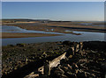
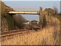
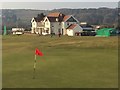
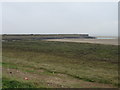
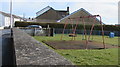
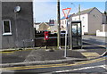
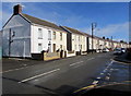
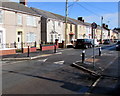
67 photos from this area
Area Information
Key information about the SA16 0TL including its size, population, and administrative classification.
- Area Type
- Postcode
- Area Size
- 2.9 hectares
- Population
- 2022
- Population Density
- 201 people/km²
House Prices in SA16 0TL
23
Properties
£159,692
Average Sold Price
£28,000
Lowest Price
£363,000
Highest Price
Showing 23 properties
| Address | Type | Beds | Baths | Last Sale Price | Last Sale Date | |
|---|---|---|---|---|---|---|
| 92 Ashburnham Road, Pembrey, Llanelli, SA16 0TL | Semi-detached | 3 | 2 | £250,000 | Jun 2025 | |
| 104 Ashburnham Road, Pembrey, Llanelli, SA16 0TL | Semi-detached | 4 | 1 | £215,000 | Apr 2024 | |
| 121 Ashburnham Road, Pembrey, Llanelli, SA16 0TL | house | - | - | £285,000 | Oct 2023 | |
| 84 Ashburnham Road, Pembrey, Llanelli, SA16 0TL | Retail | 2 | 1 | £190,000 | Jun 2022 | |
| 106 Ashburnham Road, Pembrey, Llanelli, SA16 0TL | house | - | - | £363,000 | Sep 2021 | |
| 82 Ashburnham Road, Pembrey, Llanelli, SA16 0TL | house | - | - | £160,000 | Sep 2021 | |
| 100 Ashburnham Road, Pembrey, Llanelli, SA16 0TL | house | - | - | £145,000 | Jun 2021 | |
| 115 Ashburnham Road, Pembrey, Llanelli, SA16 0TL | house | 3 | - | £119,000 | Nov 2014 | |
| 117 Ashburnham Road, Pembrey, Llanelli, SA16 0TL | Semi-detached | - | - | £120,000 | Dec 2006 | |
| 98 Ashburnham Road, Pembrey, Llanelli, SA16 0TL | Semi-detached | - | - | £128,000 | Jun 2004 |
Page 1 of 3
Energy Efficiency in SA16 0TL
Amenities
Schools
| Rank | School | Type | Entry gender | Ages |
|---|
Explore more schools in this area
Go to Schools tabDemographics
Household Size
Two person
most common
Accommodation Type
Houses
most common
Tenure
62
majority
Ethnic Group
White
most common
Religion
N/A
most common
Household Composition
N/A
most common
Age
47
median
Adults (30-64 years)
most common
Household Deprivation
N/A
with no deprivation
NS-SEC
24
in Lower managerial occupations
Explore more demographic insights in this area
Go to Demographics tabPlanning
Planning Constraints
- Flood RiskPremium
- Ramsar Wetland SitesPremium
- Area of Outstanding Natural BeautyPremium
- Protected Nature ReservePremium
- Protected WoodlandPremium
- Crime RiskPremium