Area Overview for SA16 0SL
Photos of SA16 0SL
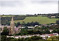
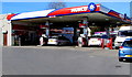
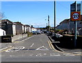
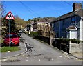
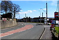
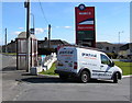
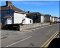
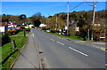
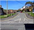
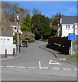
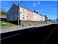
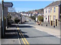
41 photos from this area
Area Information
Key information about the SA16 0SL including its size, population, and administrative classification.
- Area Type
- Postcode
- Area Size
- 6002 m²
- Population
- 1295
- Population Density
- 533 people/km²
House Prices in SA16 0SL
16
Properties
£95,226
Average Sold Price
£41,000
Lowest Price
£217,000
Highest Price
Showing 16 properties
| Address | Type | Beds | Baths | Last Sale Price | Last Sale Date | |
|---|---|---|---|---|---|---|
| 46 Ardwyn, Burry Port, SA16 0SL | Semi-detached | 3 | 1 | £217,000 | Dec 2025 | |
| 54 Ardwyn, Burry Port, SA16 0SL | Semi-detached | 3 | 1 | £139,995 | Feb 2021 | |
| 62 Ardwyn, Burry Port, SA16 0SL | Semi-detached | 3 | 1 | £100,000 | Dec 2016 | |
| 44 Ardwyn, Burry Port, SA16 0SL | house | - | - | £100,000 | Sep 2016 | |
| 42 Ardwyn, Burry Port, SA16 0SL | Semi-detached | 3 | 1 | £68,000 | May 2016 | |
| 48 Ardwyn, Burry Port, SA16 0SL | Semi-detached | 3 | - | £80,000 | Feb 2016 | |
| 68 Ardwyn, Burry Port, SA16 0SL | house | - | - | £107,995 | Feb 2013 | |
| 60 Ardwyn, Burry Port, SA16 0SL | house | - | - | £64,000 | Aug 2012 | |
| 58 Ardwyn, Burry Port, SA16 0SL | Semi-detached | - | - | £88,500 | Mar 2007 | |
| 56 Ardwyn, Burry Port, SA16 0SL | Semi-detached | - | - | £41,000 | Sep 1998 |
Page 1 of 2
Energy Efficiency in SA16 0SL
Amenities
Schools
| Rank | School | Type | Entry gender | Ages |
|---|
Explore more schools in this area
Go to Schools tabDemographics
Household Size
Two person
most common
Accommodation Type
Houses
most common
Tenure
86
majority
Ethnic Group
White
most common
Religion
N/A
most common
Household Composition
N/A
most common
Age
47
median
Adults (30-64 years)
most common
Household Deprivation
N/A
with no deprivation
NS-SEC
30
in Lower managerial occupations
Explore more demographic insights in this area
Go to Demographics tabPlanning
Planning Constraints
- Flood RiskPremium
- Ramsar Wetland SitesPremium
- Area of Outstanding Natural BeautyPremium
- Protected Nature ReservePremium
- Protected WoodlandPremium
- Crime RiskPremium