Area Overview for SA16 0BT
Photos of SA16 0BT
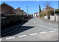
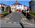
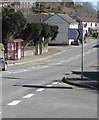
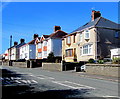
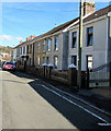
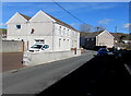
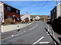
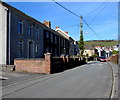
80 photos from this area
Area Information
Key information about the SA16 0BT including its size, population, and administrative classification.
- Area Type
- Postcode
- Area Size
- 1.4 hectares
- Population
- 2152
- Population Density
- 79 people/km²
House Prices in SA16 0BT
15
Properties
£191,275
Average Sold Price
£42,000
Lowest Price
£305,000
Highest Price
Showing 15 properties
| Address | Type | Beds | Baths | Last Sale Price | Last Sale Date | |
|---|---|---|---|---|---|---|
| 10 Gwscwm Road, Burry Port, SA16 0BT | Semi-detached | 3 | 3 | £185,000 | Feb 2025 | |
| 8A Gwscwm Road, Burry Port, SA16 0BT | Detached | 5 | 4 | £300,000 | Sep 2021 | |
| 20 Gwscwm Road, Burry Port, SA16 0BT | Detached | 5 | - | £273,750 | Jul 2021 | |
| 4 Gwscwm Road, Burry Port, SA16 0BT | Semi-detached | 3 | 1 | £169,000 | Apr 2021 | |
| 14 Gwscwm Road, Burry Port, SA16 0BT | Semi-detached | 3 | 1 | £126,000 | Jul 2019 | |
| 12 Gwscwm Road, Burry Port, SA16 0BT | Semi-detached | 2 | 1 | £112,000 | Aug 2018 | |
| 22A Gwscwm Road, Burry Port, SA16 0BT | Detached | 3 | 1 | £280,000 | Jun 2018 | |
| 6 Gwscwm Road, Burry Port, SA16 0BT | house | - | - | £120,000 | Nov 2016 | |
| 8B Gwscwm Road, Burry Port, SA16 0BT | house | 6 | - | £305,000 | Jul 2007 | |
| 16 Gwscwm Road, Burry Port, SA16 0BT | Semi-detached | - | - | £42,000 | Sep 2001 |
Page 1 of 2
Energy Efficiency in SA16 0BT
Amenities
Schools
| Rank | School | Type | Entry gender | Ages |
|---|
Explore more schools in this area
Go to Schools tabDemographics
Household Size
Two person
most common
Accommodation Type
Houses
most common
Tenure
91
majority
Ethnic Group
White
most common
Religion
N/A
most common
Household Composition
N/A
most common
Age
47
median
Adults (30-64 years)
most common
Household Deprivation
N/A
with no deprivation
NS-SEC
41
in Lower managerial occupations
Explore more demographic insights in this area
Go to Demographics tabPlanning
Planning Constraints
- Flood RiskPremium
- Ramsar Wetland SitesPremium
- Area of Outstanding Natural BeautyPremium
- Protected Nature ReservePremium
- Protected WoodlandPremium
- Crime RiskPremium