Area Overview for SA14 9EQ
Photos of SA14 9EQ
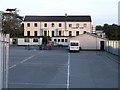
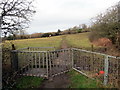
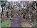
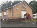
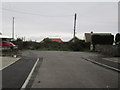
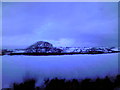
6 photos from this area
Area Information
Key information about the SA14 9EQ including its size, population, and administrative classification.
- Area Type
- Postcode
- Area Size
- 4.5 hectares
- Population
- 2372
- Population Density
- 1775 people/km²
House Prices in SA14 9EQ
82
Properties
£175,137
Average Sold Price
£92,500
Lowest Price
£390,000
Highest Price
Showing 82 properties
| Address | Type | Beds | Baths | Last Sale Price | Last Sale Date | |
|---|---|---|---|---|---|---|
| 59 Pant Bryn Isaf, Llanelli, SA14 9EQ | Detached | 4 | 3 | £390,000 | Oct 2025 | |
| 23 Pant Bryn Isaf, Llanelli, SA14 9EQ | Detached | 3 | 3 | £233,500 | Aug 2025 | |
| 43 Pant Bryn Isaf, Llanelli, SA14 9EQ | Detached | 3 | 2 | £210,000 | May 2025 | |
| 41 Pant Bryn Isaf, Llanelli, SA14 9EQ | Detached | 3 | 1 | £260,000 | Dec 2024 | |
| 45 Pant Bryn Isaf, Llanelli, SA14 9EQ | Detached | 3 | 2 | £245,000 | Nov 2024 | |
| 38 Pant Bryn Isaf, Llanelli, SA14 9EQ | Detached | 3 | 3 | £260,000 | Sep 2024 | |
| 53 Pant Bryn Isaf, Llanelli, SA14 9EQ | Detached | 3 | 2 | £222,500 | May 2024 | |
| 28 Pant Bryn Isaf, Llanelli, SA14 9EQ | Detached | 4 | 2 | £325,000 | Nov 2023 | |
| 56 Pant Bryn Isaf, Llanelli, SA14 9EQ | Detached | 3 | 1 | £255,000 | Dec 2022 | |
| 31 Pant Bryn Isaf, Llanelli, SA14 9EQ | house | - | - | £188,500 | Aug 2021 |
Page 1 of 9
Energy Efficiency in SA14 9EQ
Amenities
Schools
| Rank | School | Type | Entry gender | Ages |
|---|
Explore more schools in this area
Go to Schools tabDemographics
Household Size
Family (3-5 people)
most common
Accommodation Type
Houses
most common
Tenure
64
majority
Ethnic Group
White
most common
Religion
N/A
most common
Household Composition
N/A
most common
Age
47
median
Adults (30-64 years)
most common
Household Deprivation
N/A
with no deprivation
NS-SEC
28
in Lower managerial occupations
Explore more demographic insights in this area
Go to Demographics tabPlanning
Planning Constraints
- Flood RiskPremium
- Ramsar Wetland SitesPremium
- Area of Outstanding Natural BeautyPremium
- Protected Nature ReservePremium
- Protected WoodlandPremium
- Crime RiskPremium