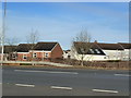
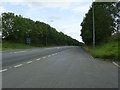
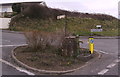
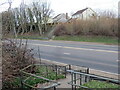
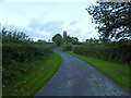
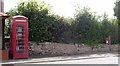
Area Overview for Pwll-trap
Photos of Pwll-trap


Area Information
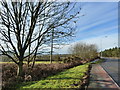
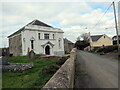
Pwll-trap is a small built-up area in Wales, spanning 21.8 hectares. Its compact size means the community is closely knit, with daily life centred around local amenities and proximity to nearby towns. The area’s demographic profile suggests a population skewed towards older residents, with a median age of 70. This reflects a community likely shaped by long-term residency and generational continuity. Residents benefit from nearby retail options, including Spar and Co-op stores in St and Whitland, which provide essential shopping needs. A railway station in Whitland offers practical transport links, connecting the area to broader regional networks. While Pwll-trap lacks large-scale infrastructure, its size and amenities cater to those prioritising convenience over expansive urban facilities. The area’s character is defined by its quiet, low-density environment, making it suitable for those seeking a slower pace of life without sacrificing access to basic services.
- Area Type
- Built Up Area 250
- Area Size
- 21.8 hectares
- Population
- Not available
- Population Density
- Not available
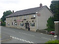
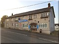
Residents of Pwll-trap have access to essential amenities within practical reach. Local retail options include Spar and Co-op stores in St and Whitland, offering everyday shopping needs. These shops provide convenience for daily errands, reducing the need for travel to larger towns. The Whitland Railway Station offers a key transport link, enabling connections to nearby areas for work, leisure, or socialising. While the area lacks large-scale leisure facilities, the presence of nearby shops and transport options supports a self-contained lifestyle. The compact nature of Pwll-trap means residents can access necessities without long journeys, though the absence of detailed data on parks or recreational spaces means the area’s green spaces remain unspecified. For those prioritising convenience over extensive amenities, Pwll-trap offers a functional, low-maintenance environment.
Amenities
Schools
| Rank | School | Type | Entry gender | Ages |
|---|
Explore more schools in this area
Go to Schools tabDemographics
The population of Pwll-trap has a median age of 70, indicating a community predominantly composed of older adults. This suggests a demographic profile shaped by stability and long-term residency rather than rapid growth or generational turnover. Home ownership is high, with 74% of households owning their properties, pointing to a settled population less reliant on rental markets. Data on household composition, accommodation types, and ethnic diversity is not specified, but the overall figures suggest a homogenous community. The absence of detailed breakdowns means assumptions about social dynamics or cultural diversity cannot be made. For residents, this demographic structure may influence local services and amenities, with a focus on healthcare and age-friendly infrastructure. The lack of specific data on deprivation or income levels means quality of life factors remain less defined, though the high home ownership rate implies financial stability for many residents.
Household Size
Accommodation Type
Tenure
Ethnic Group
Religion
Household Composition
Age
Household Deprivation
NS-SEC
Explore more demographic insights in this area
Go to Demographics tabPlanning
Planning Constraints
- Crime RiskPremium