Area Overview for Cynwyl Gaeo Community
Photos of Cynwyl Gaeo Community


Area Information
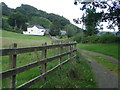
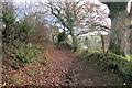
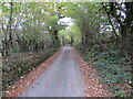
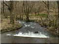
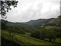
Living in Cynwyl Gaeo Community offers a distinct experience defined by its rural character and significant size. This civil parish covers an area of 108.5 square kilometres, creating a broad landscape where daily life often revolves around local amenities rather than dense urban infrastructure. The setting is typical of a Welsh parish, providing a backdrop of open space and countryside that shapes the rhythm of everyday life for residents. You will find that the community feels spacious, with the scale of the land playing a major role in how neighbours interact and how the environment feels on your doorstep. The identity of the area is shaped by specific geographical markers, including coverage of protected nature reserves and protected woodland which contribute to the scenery. These natural features are not merely decorative; they define the land use and planning realities for anyone considering homes in Cynwyl Gaeo Community. The average size of the parish means you are less likely to be hemmed in by urban boundaries. Instead, the land surrounds you, offering a sense of privacy but also requiring a car for most outings. This layout supports a slower pace of life where the distance between your home, local schools near Cynwyl Gaeo Community, and shops forms the core of your daily commute.
- Area Type
- Parish
- Area Size
- 108.5 km²
- Population
- Not available
- Population Density
- Not available
Demographics
The social fabric of Cynwyl Gaeo Community reflects a settled population with a clear demographic profile. The median age within the parish stands at 70, indicating that this is a location dominated by older residents. While precise breakdowns for specific age bands are recorded under the age category total, the high median age suggests a community where children and young adults represent a smaller proportion of the population. This age structure influences local services, from the types of activities available to the pace of community development. Home ownership is the defining characteristic of life here, with 83% of homes in Cynwyl Gaeo Community owned by their occupants. This high rate of ownership points to a stable, long-term resident base rather than a transient rental market. Accommodation types are recorded under the total category, reflecting the mix of dwellings that support this population. Although specific ethnic and religious breakdowns are listed under the total category without further detail, the homogeneity of such a high ownership rate and age profile often correlates with established, traditional communities. For you as a prospective resident, this means buying into an area where previous owners have stayed for decades. The presence of protected nature reserves and woodland within the parish boundaries may also appeal to nature enthusiasts, aligning with the preferences of an older, settled demographic seeking a quiet environment away from urban pressure.
Household Size
Accommodation Type
Tenure
Ethnic Group
Religion
Household Composition
Age
Household Deprivation
NS-SEC
Explore more demographic insights in this area
Go to Demographics tabPlanning
Planning Constraints
- Flood RiskPremium
- Ramsar Wetland SitesPremium
- Area of Outstanding Natural BeautyPremium
- Protected Nature ReservePremium
- Protected WoodlandPremium
- Crime RiskPremium