Area Overview for CF5 4BN
Photos of CF5 4BN

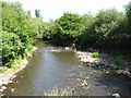
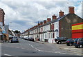
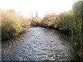
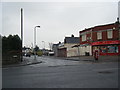

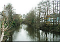
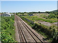
44 photos from this area
Area Information
Key information about the CF5 4BN including its size, population, and administrative classification.
- Area Type
- Postcode
- Area Size
- 8044 m²
- Population
- 1544
- Population Density
- 5378 people/km²
House Prices in CF5 4BN
31
Properties
£110,267
Average Sold Price
£40,000
Lowest Price
£175,000
Highest Price
Showing 31 properties
| Address | Type | Beds | Baths | Last Sale Price | Last Sale Date | |
|---|---|---|---|---|---|---|
| 39 Pendine Road, Ely, Cardiff, CF5 4BN | Terraced | 2 | 1 | £122,000 | Feb 2023 | |
| 5 Pendine Road, Ely, Cardiff, CF5 4BN | Terraced | 2 | 1 | £175,000 | Dec 2022 | |
| 51 Pendine Road, Cardiff, CF5 4BN | Terraced | 2 | 1 | £152,000 | May 2021 | |
| 37 Pendine Road, Ely, Cardiff, CF5 4BN | Terraced | 2 | 1 | £125,000 | Nov 2019 | |
| 19 Pendine Road, Ely, Cardiff, CF5 4BN | Terraced | 2 | 1 | £123,000 | Jun 2019 | |
| 13 Pendine Road, Ely, Cardiff, CF5 4BN | Terraced | 2 | 1 | £111,000 | Mar 2019 | |
| 3 Pendine Road, Ely, Cardiff, CF5 4BN | house | - | - | £143,000 | Sep 2018 | |
| 23 Pendine Road, Ely, Cardiff, CF5 4BN | house | 2 | 1 | £105,000 | Jul 2015 | |
| 43 Pendine Road, Ely, Cardiff, CF5 4BN | Terraced | 2 | - | £105,000 | Feb 2015 | |
| 55 Pendine Road, Ely, Cardiff, CF5 4BN | Terraced | - | - | £50,000 | Sep 2013 |
Page 1 of 4
Energy Efficiency in CF5 4BN
Amenities
Schools
| Rank | School | Type | Entry gender | Ages |
|---|
Explore more schools in this area
Go to Schools tabDemographics
Household Size
One person
most common
Accommodation Type
Houses
most common
Tenure
43
majority
Ethnic Group
White
most common
Religion
N/A
most common
Household Composition
N/A
most common
Age
47
median
Adults (30-64 years)
most common
Household Deprivation
N/A
with no deprivation
NS-SEC
19
in Lower managerial occupations
Explore more demographic insights in this area
Go to Demographics tabPlanning
Planning Constraints
- Flood RiskPremium
- Ramsar Wetland SitesPremium
- Area of Outstanding Natural BeautyPremium
- Protected Nature ReservePremium
- Protected WoodlandPremium
- Crime RiskPremium