Area Overview for CF5 1HQ
Photos of CF5 1HQ
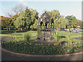
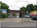
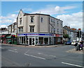
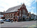
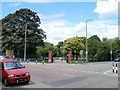
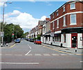
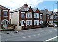
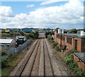
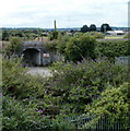
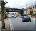
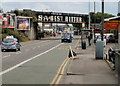
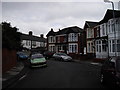
85 photos from this area
Area Information
Key information about the CF5 1HQ including its size, population, and administrative classification.
- Area Type
- Postcode
- Area Size
- 6220 m²
- Population
- 1539
- Population Density
- 11350 people/km²
House Prices in CF5 1HQ
39
Properties
£208,872
Average Sold Price
£52,500
Lowest Price
£355,000
Highest Price
Showing 39 properties
| Address | Type | Beds | Baths | Last Sale Price | Last Sale Date | |
|---|---|---|---|---|---|---|
| 74 Forrest Road, Canton, Cardiff, CF5 1HQ | Terraced | 2 | 1 | £336,000 | Jul 2024 | |
| 90 Forrest Road, Canton, Cardiff, CF5 1HQ | Terraced | 3 | 1 | £335,000 | Jul 2024 | |
| 96 Forrest Road, Canton, Cardiff, CF5 1HQ | Terraced | 3 | 1 | £355,000 | Jun 2024 | |
| 86 Forrest Road, Canton, Cardiff, CF5 1HQ | Terraced | 3 | 1 | £340,100 | Jan 2024 | |
| 82 Forrest Road, Canton, Cardiff, CF5 1HQ | Terraced | 3 | 2 | £317,500 | Oct 2022 | |
| 64 Forrest Road, Canton, Cardiff, CF5 1HQ | house | - | - | £265,000 | Dec 2021 | |
| 65 Forrest Road, Canton, Cardiff, CF5 1HQ | house | - | - | £287,000 | Mar 2021 | |
| 63 Forrest Road, Canton, Cardiff, CF5 1HQ | house | - | - | £287,500 | Mar 2021 | |
| 68 Forrest Road, Canton, Cardiff, CF5 1HQ | Terraced | 3 | 2 | £265,000 | Nov 2020 | |
| 70 Forrest Road, Canton, Cardiff, CF5 1HQ | Terraced | 3 | 1 | £165,000 | Oct 2020 |
Page 1 of 4
Energy Efficiency in CF5 1HQ
Amenities
Schools
| Rank | School | Type | Entry gender | Ages |
|---|
Explore more schools in this area
Go to Schools tabDemographics
Household Size
One person
most common
Accommodation Type
Houses
most common
Tenure
61
majority
Ethnic Group
White
most common
Religion
N/A
most common
Household Composition
N/A
most common
Age
47
median
Adults (30-64 years)
most common
Household Deprivation
N/A
with no deprivation
NS-SEC
44
in Lower managerial occupations
Explore more demographic insights in this area
Go to Demographics tabPlanning
Planning Constraints
- Flood RiskPremium
- Ramsar Wetland SitesPremium
- Area of Outstanding Natural BeautyPremium
- Protected Nature ReservePremium
- Protected WoodlandPremium
- Crime RiskPremium