Area Overview for CF3 4HR
Photos of CF3 4HR
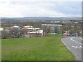
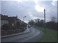
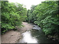
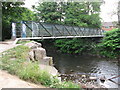
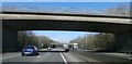

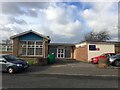
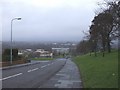
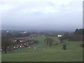

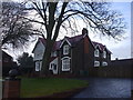
17 photos from this area
Area Information
Key information about the CF3 4HR including its size, population, and administrative classification.
- Area Type
- Postcode
- Area Size
- 2023 m²
- Population
- 1548
- Population Density
- 2878 people/km²
House Prices in CF3 4HR
8
Properties
£108,486
Average Sold Price
£57,950
Lowest Price
£190,000
Highest Price
Showing 8 properties
| Address | Type | Beds | Baths | Last Sale Price | Last Sale Date | |
|---|---|---|---|---|---|---|
| 52 Clevedon Road, Llanrumney, Cardiff, CF3 4HR | Terraced | 3 | 1 | £190,000 | Aug 2024 | |
| 50 Clevedon Road, Llanrumney, Cardiff, CF3 4HR | house | - | - | £126,000 | Sep 2016 | |
| 54 Clevedon Road, Llanrumney, Cardiff, CF3 4HR | Terraced | - | - | £59,995 | Jul 2003 | |
| 60 Clevedon Road, Llanrumney, Cardiff, CF3 4HR | house | - | - | £57,950 | Sep 2000 | |
| 48 Clevedon Road, Llanrumney, Cardiff, CF3 4HR | Semi-detached | 3 | 2 | - | - | |
| 46C Clevedon Road, Llanrumney, Cardiff, CF3 4HR | Flat | - | - | - | - | |
| 56 Clevedon Road, Llanrumney, Cardiff, CF3 4HR | Terraced | - | - | - | - | |
| 58 Clevedon Road, Llanrumney, Cardiff, CF3 4HR | house | - | - | - | - |
Energy Efficiency in CF3 4HR
Amenities
Schools
| Rank | School | Type | Entry gender | Ages |
|---|
Explore more schools in this area
Go to Schools tabDemographics
Household Size
Two person
most common
Accommodation Type
Houses
most common
Tenure
63
majority
Ethnic Group
White
most common
Religion
N/A
most common
Household Composition
N/A
most common
Age
47
median
Adults (30-64 years)
most common
Household Deprivation
N/A
with no deprivation
NS-SEC
23
in Lower managerial occupations
Explore more demographic insights in this area
Go to Demographics tabPlanning
Planning Constraints
- Flood RiskPremium
- Ramsar Wetland SitesPremium
- Area of Outstanding Natural BeautyPremium
- Protected Nature ReservePremium
- Protected WoodlandPremium
- Crime RiskPremium