Area Overview for CF24 2PB
Photos of CF24 2PB
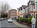
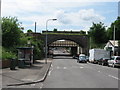
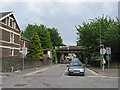

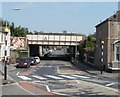
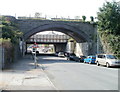
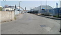
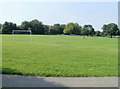
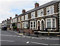
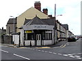
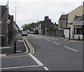
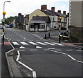
79 photos from this area
Area Information
Key information about the CF24 2PB including its size, population, and administrative classification.
- Area Type
- Postcode
- Area Size
- 4549 m²
- Population
- 1597
- Population Density
- 11375 people/km²
House Prices in CF24 2PB
30
Properties
£137,155
Average Sold Price
£40,750
Lowest Price
£235,000
Highest Price
Showing 30 properties
| Address | Type | Beds | Baths | Last Sale Price | Last Sale Date | |
|---|---|---|---|---|---|---|
| 97 Carlisle Street, Splott, Cardiff, CF24 2PB | Detached | 2 | 1 | £225,000 | Dec 2023 | |
| 89A Carlisle Street, Splott, Cardiff, CF24 2PB | Flat | - | - | £235,000 | Jan 2023 | |
| 127 Carlisle Street, Splott, Cardiff, CF24 2PB | house | 3 | 2 | £160,000 | Jun 2019 | |
| 115 Carlisle Street, Splott, Cardiff, CF24 2PB | Terraced | 3 | 1 | £150,000 | Aug 2018 | |
| 125 Carlisle Street, Splott, Cardiff, CF24 2PB | house | - | - | £178,000 | May 2018 | |
| The Vault, Carlisle Street, Splott, Cardiff, CF24 2PB | house | 4 | - | £83,000 | Jan 2017 | |
| 91 Carlisle Street, Splott, Cardiff, CF24 2PB | Terraced | - | - | £165,000 | Jun 2005 | |
| 129 Carlisle Street, Splott, Cardiff, CF24 2PB | house | 3 | - | £120,000 | Apr 2004 | |
| 113 Carlisle Street, Splott, Cardiff, CF24 2PB | Terraced | 3 | 1 | £94,000 | Aug 2002 | |
| 111 Carlisle Street, Splott, Cardiff, CF24 2PB | Terraced | - | - | £57,950 | Aug 1998 |
Page 1 of 3
Energy Efficiency in CF24 2PB
Amenities
Schools
| Rank | School | Type | Entry gender | Ages |
|---|
Explore more schools in this area
Go to Schools tabDemographics
Household Size
One person
most common
Accommodation Type
Houses
most common
Tenure
52
majority
Ethnic Group
White
most common
Religion
N/A
most common
Household Composition
N/A
most common
Age
47
median
Adults (30-64 years)
most common
Household Deprivation
N/A
with no deprivation
NS-SEC
29
in Lower managerial occupations
Explore more demographic insights in this area
Go to Demographics tabPlanning
Planning Constraints
- Flood RiskPremium
- Ramsar Wetland SitesPremium
- Area of Outstanding Natural BeautyPremium
- Protected Nature ReservePremium
- Protected WoodlandPremium
- Crime RiskPremium