Area Overview for CF24 2NG
Photos of CF24 2NG
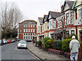
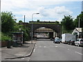
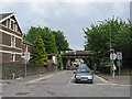

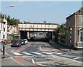
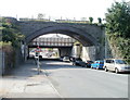
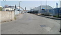
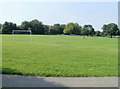
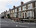
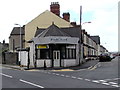
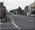
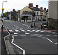
79 photos from this area
Area Information
Key information about the CF24 2NG including its size, population, and administrative classification.
- Area Type
- Postcode
- Area Size
- 3610 m²
- Population
- 1383
- Population Density
- 7845 people/km²
House Prices in CF24 2NG
25
Properties
£144,250
Average Sold Price
£69,000
Lowest Price
£185,000
Highest Price
Showing 25 properties
| Address | Type | Beds | Baths | Last Sale Price | Last Sale Date | |
|---|---|---|---|---|---|---|
| 120 Railway Street, Splott, Cardiff, CF24 2NG | Terraced | 5 | 2 | £185,000 | Sep 2019 | |
| 122 Railway Street, Splott, Cardiff, CF24 2NG | Terraced | 3 | 2 | £173,500 | May 2018 | |
| 142 Railway Street, Splott, Cardiff, CF24 2NG | house | - | - | £162,000 | Mar 2017 | |
| 110 Railway Street, Splott, Cardiff, CF24 2NG | house | 5 | - | £145,000 | May 2006 | |
| 148 Railway Street, Splott, Cardiff, CF24 2NG | house | - | - | £131,000 | Sep 2004 | |
| 126 Railway Street, Splott, Cardiff, CF24 2NG | house | - | - | £69,000 | Aug 2000 | |
| First Floor Flat, 114 Railway Street, Splott, Cardiff, CF24 2NG | Flat | - | - | - | - | |
| Flat B, 124 Railway Street, Splott, Cardiff, CF24 2NG | Flat | - | - | - | - | |
| Flat A, 124 Railway Street, Splott, Cardiff, CF24 2NG | Flat | - | - | - | - | |
| Flat 1, 128 Railway Street, Splott, Cardiff, CF24 2NG | Flat | 2 | 1 | - | - |
Page 1 of 3
Energy Efficiency in CF24 2NG
Amenities
Schools
| Rank | School | Type | Entry gender | Ages |
|---|
Explore more schools in this area
Go to Schools tabDemographics
Household Size
Two person
most common
Accommodation Type
Houses
most common
Tenure
59
majority
Ethnic Group
White
most common
Religion
N/A
most common
Household Composition
N/A
most common
Age
47
median
Adults (30-64 years)
most common
Household Deprivation
N/A
with no deprivation
NS-SEC
33
in Lower managerial occupations
Explore more demographic insights in this area
Go to Demographics tabPlanning
Planning Constraints
- Flood RiskPremium
- Ramsar Wetland SitesPremium
- Area of Outstanding Natural BeautyPremium
- Protected Nature ReservePremium
- Protected WoodlandPremium
- Crime RiskPremium