Area Overview for CF15 9PY
Photos of CF15 9PY
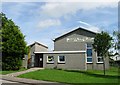
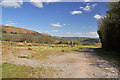
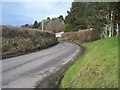
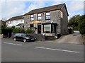
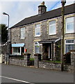
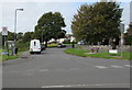
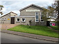
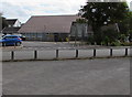
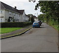
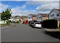

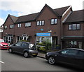
40 photos from this area
Area Information
Key information about the CF15 9PY including its size, population, and administrative classification.
- Area Type
- Postcode
- Area Size
- 1.8 hectares
- Population
- 2373
- Population Density
- 263 people/km²
House Prices in CF15 9PY
15
Properties
£154,286
Average Sold Price
£40,000
Lowest Price
£302,500
Highest Price
Showing 15 properties
| Address | Type | Beds | Baths | Last Sale Price | Last Sale Date | |
|---|---|---|---|---|---|---|
| 11 Heol Y Bryn, Pentyrch, Cardiff, CF15 9PY | house | - | - | £302,500 | Apr 2024 | |
| 9 Heol Y Bryn, Pentyrch, Cardiff, CF15 9PY | Semi-detached | 4 | 2 | £280,000 | Jun 2019 | |
| 1 Heol Y Bryn, Pentyrch, Cardiff, CF15 9PY | Flat | - | - | £125,000 | Dec 2006 | |
| 27 Heol Y Bryn, Pentyrch, Cardiff, CF15 9PY | house | - | - | £157,500 | May 2006 | |
| 23 Heol Y Bryn, Pentyrch, Cardiff, CF15 9PY | Flat | - | - | £67,000 | Aug 2003 | |
| 13 Heol Y Bryn, Pentyrch, Cardiff, CF15 9PY | house | 3 | - | £108,000 | Jul 2002 | |
| 17 Heol Y Bryn, Pentyrch, Cardiff, CF15 9PY | Flat | - | - | £40,000 | Dec 1997 | |
| 3 Heol Y Bryn, Pentyrch, Cardiff, CF15 9PY | Flat | - | - | - | - | |
| 21 Heol Y Bryn, Pentyrch, Cardiff, CF15 9PY | Flat | - | - | - | - | |
| 19 Heol Y Bryn, Pentyrch, Cardiff, CF15 9PY | Flat | - | - | - | - |
Page 1 of 2
Energy Efficiency in CF15 9PY
Amenities
Schools
| Rank | School | Type | Entry gender | Ages |
|---|
Explore more schools in this area
Go to Schools tabDemographics
Household Size
Two person
most common
Accommodation Type
Houses
most common
Tenure
83
majority
Ethnic Group
White
most common
Religion
N/A
most common
Household Composition
N/A
most common
Age
47
median
Adults (30-64 years)
most common
Household Deprivation
N/A
with no deprivation
NS-SEC
54
in Lower managerial occupations
Explore more demographic insights in this area
Go to Demographics tabPlanning
Planning Constraints
- Flood RiskPremium
- Ramsar Wetland SitesPremium
- Area of Outstanding Natural BeautyPremium
- Protected Nature ReservePremium
- Protected WoodlandPremium
- Crime RiskPremium