Area Overview for CF14 6PF
Photos of CF14 6PF
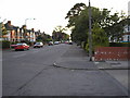
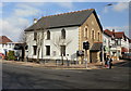

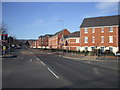
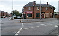


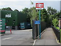
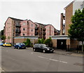
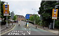
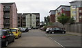
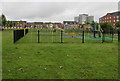
79 photos from this area
Area Information
Key information about the CF14 6PF including its size, population, and administrative classification.
- Area Type
- Postcode
- Area Size
- 1.8 hectares
- Population
- 1512
- Population Density
- 3330 people/km²
House Prices in CF14 6PF
27
Properties
£306,553
Average Sold Price
£87,000
Lowest Price
£500,000
Highest Price
Showing 27 properties
| Address | Type | Beds | Baths | Last Sale Price | Last Sale Date | |
|---|---|---|---|---|---|---|
| 22 Thornhill Road, Llanishen, Cardiff, CF14 6PF | Semi-detached | 4 | 1 | £430,000 | Feb 2023 | |
| 64 Thornhill Road, Llanishen, Cardiff, CF14 6PF | house | - | - | £480,000 | Jan 2023 | |
| 62 Thornhill Road, Llanishen, Cardiff, CF14 6PF | house | 3 | - | £395,000 | Oct 2021 | |
| 52 Thornhill Road, Llanishen, Cardiff, CF14 6PF | house | - | - | £472,500 | May 2021 | |
| 30 Thornhill Road, Llanishen, Cardiff, CF14 6PF | Detached | 5 | 2 | £500,000 | May 2021 | |
| 24 Thornhill Road, Llanishen, Cardiff, CF14 6PF | Semi-detached | 3 | 1 | £345,000 | Feb 2019 | |
| 36 Thornhill Road, Llanishen, Cardiff, CF14 6PF | house | - | - | £322,500 | Jul 2017 | |
| 26 Thornhill Road, Llanishen, Cardiff, CF14 6PF | Semi-detached | 4 | 1 | £375,000 | Dec 2014 | |
| 32 Thornhill Road, Llanishen, Cardiff, CF14 6PF | Semi-detached | 3 | 1 | £255,500 | Nov 2014 | |
| 20 Thornhill Road, Llanishen, Cardiff, CF14 6PF | house | - | - | £233,950 | Jan 2012 |
Page 1 of 3
Energy Efficiency in CF14 6PF
Amenities
Schools
| Rank | School | Type | Entry gender | Ages |
|---|
Explore more schools in this area
Go to Schools tabDemographics
Household Size
Family (3-5 people)
most common
Accommodation Type
Houses
most common
Tenure
66
majority
Ethnic Group
White
most common
Religion
N/A
most common
Household Composition
N/A
most common
Age
47
median
Adults (30-64 years)
most common
Household Deprivation
N/A
with no deprivation
NS-SEC
37
in Lower managerial occupations
Explore more demographic insights in this area
Go to Demographics tabPlanning
Planning Constraints
- Flood RiskPremium
- Ramsar Wetland SitesPremium
- Area of Outstanding Natural BeautyPremium
- Protected Nature ReservePremium
- Protected WoodlandPremium
- Crime RiskPremium