Area Overview for CF14 4LW
Photos of CF14 4LW
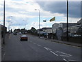
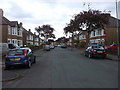
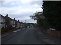

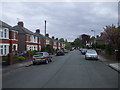
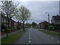
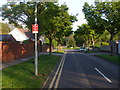

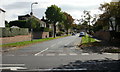
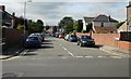
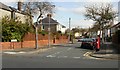

79 photos from this area
Area Information
Key information about the CF14 4LW including its size, population, and administrative classification.
- Area Type
- Postcode
- Area Size
- 1.1 hectares
- Population
- 1662
- Population Density
- 4118 people/km²
House Prices in CF14 4LW
27
Properties
£231,963
Average Sold Price
£44,250
Lowest Price
£380,000
Highest Price
Showing 27 properties
| Address | Type | Beds | Baths | Last Sale Price | Last Sale Date | |
|---|---|---|---|---|---|---|
| 71 St Isan Road, Heath, Cardiff, CF14 4LW | Semi-detached | 3 | 1 | £380,000 | May 2023 | |
| 67 St Isan Road, Heath, Cardiff, CF14 4LW | Semi-detached | 3 | 1 | £365,000 | Jul 2018 | |
| 75 St Isan Road, Heath, Cardiff, CF14 4LW | house | 3 | - | £345,000 | Jul 2015 | |
| 61 St Isan Road, Heath, Cardiff, CF14 4LW | house | - | - | £372,500 | Jan 2015 | |
| 63 St Isan Road, Heath, Cardiff, CF14 4LW | Semi-detached | 3 | - | £287,500 | Jan 2015 | |
| 51 St Isan Road, Heath, Cardiff, CF14 4LW | Semi-detached | 3 | 1 | £229,400 | May 2005 | |
| 55 St Isan Road, Heath, Cardiff, CF14 4LW | Semi-detached | - | - | £235,000 | Jul 2004 | |
| 81 St Isan Road, Heath, Cardiff, CF14 4LW | Semi-detached | - | - | £191,950 | Dec 2003 | |
| 83 St Isan Road, Heath, Cardiff, CF14 4LW | house | - | - | £125,000 | Sep 2000 | |
| 79 St Isan Road, Heath, Cardiff, CF14 4LW | Semi-detached | - | - | £119,950 | Jul 1999 |
Page 1 of 3
Energy Efficiency in CF14 4LW
Amenities
Schools
| Rank | School | Type | Entry gender | Ages |
|---|
Explore more schools in this area
Go to Schools tabDemographics
Household Size
Family (3-5 people)
most common
Accommodation Type
Houses
most common
Tenure
80
majority
Ethnic Group
White
most common
Religion
N/A
most common
Household Composition
N/A
most common
Age
47
median
Adults (30-64 years)
most common
Household Deprivation
N/A
with no deprivation
NS-SEC
52
in Lower managerial occupations
Explore more demographic insights in this area
Go to Demographics tabPlanning
Planning Constraints
- Flood RiskPremium
- Ramsar Wetland SitesPremium
- Area of Outstanding Natural BeautyPremium
- Protected Nature ReservePremium
- Protected WoodlandPremium
- Crime RiskPremium