Area Overview for CF14 3JL
Photos of CF14 3JL
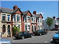
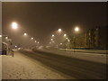
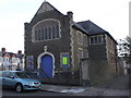
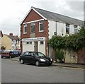
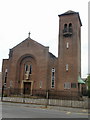
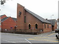
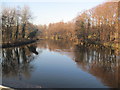
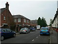
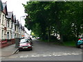
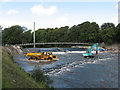
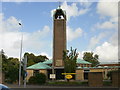
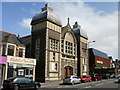
100 photos from this area
Area Information
Key information about the CF14 3JL including its size, population, and administrative classification.
- Area Type
- Postcode
- Area Size
- 1.1 hectares
- Population
- 2014
- Population Density
- 9023 people/km²
House Prices in CF14 3JL
27
Properties
£193,200
Average Sold Price
£117,400
Lowest Price
£269,000
Highest Price
Showing 27 properties
| Address | Type | Beds | Baths | Last Sale Price | Last Sale Date | |
|---|---|---|---|---|---|---|
| 3 Whitchurch Road, Cathays, Cardiff, CF14 3JL | Terraced | 3 | 2 | £269,000 | Aug 2022 | |
| 5 Whitchurch Road, Cathays, Cardiff, CF14 3JL | house | - | - | £117,400 | Nov 2004 | |
| First Floor Flat, 9 Whitchurch Road, Cathays, Cardiff, CF14 3JL | Maisonette | 2 | 2 | - | - | |
| 1B WHITCHURCH ROAD, Cathays, Cardiff, CF14 3JL | Flat | 1 | 1 | - | - | |
| Proposed Flat, 1 Whitchurch Road, Cathays, Cardiff, CF14 3JL | Flat | - | - | - | - | |
| 1C Whitchurch Road, Cathays, Cardiff, CF14 3JL | house | - | - | - | - | |
| Ground Floor Flat, 9 Whitchurch Road, Cathays, Cardiff, CF14 3JL | Flat | - | - | - | - | |
| 9 Whitchurch Road, Cathays, Cardiff, CF14 3JL | Flat | - | - | - | - | |
| 15, Cwrt Sant Mihangel, Whitchurch Road, Cathays, Cardiff, CF14 3JL | Flat | - | - | - | - | |
| 13, Cwrt Sant Mihangel, Whitchurch Road, Cathays, Cardiff, CF14 3JL | Flat | - | - | - | - |
Page 1 of 3
Energy Efficiency in CF14 3JL
Amenities
Schools
| Rank | School | Type | Entry gender | Ages |
|---|
Explore more schools in this area
Go to Schools tabDemographics
Household Size
Family (3-5 people)
most common
Accommodation Type
Houses
most common
Tenure
48
majority
Ethnic Group
White
most common
Religion
N/A
most common
Household Composition
N/A
most common
Age
22
median
Young Adults (15-29 years)
most common
Household Deprivation
N/A
with no deprivation
NS-SEC
21
in Lower managerial occupations
Explore more demographic insights in this area
Go to Demographics tabPlanning
Planning Constraints
- Flood RiskPremium
- Ramsar Wetland SitesPremium
- Area of Outstanding Natural BeautyPremium
- Protected Nature ReservePremium
- Protected WoodlandPremium
- Crime RiskPremium