Area Overview for CF14 2TH
Photos of CF14 2TH
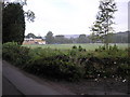
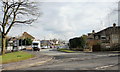
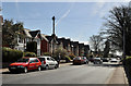
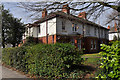
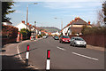

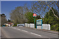
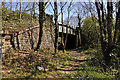
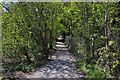
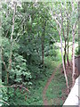
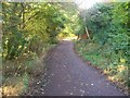
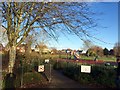
100 photos from this area
Area Information
Key information about the CF14 2TH including its size, population, and administrative classification.
- Area Type
- Postcode
- Area Size
- 1.2 hectares
- Population
- 1657
- Population Density
- 2762 people/km²
House Prices in CF14 2TH
51
Properties
£203,092
Average Sold Price
£140,000
Lowest Price
£500,000
Highest Price
Showing 51 properties
| Address | Type | Beds | Baths | Last Sale Price | Last Sale Date | |
|---|---|---|---|---|---|---|
| 24 Samuels Crescent, Whitchurch, Cardiff, CF14 2TH | Flat | 2 | 1 | £232,500 | Jul 2025 | |
| 72 Samuels Crescent, Whitchurch, Cardiff, CF14 2TH | Flat | 1 | 1 | £180,000 | Mar 2025 | |
| 64 Samuels Crescent, Whitchurch, Cardiff, CF14 2TH | Flat | 2 | 1 | £260,000 | Sep 2024 | |
| 66 Samuels Crescent, Whitchurch, Cardiff, CF14 2TH | Flat | - | - | £169,950 | Jul 2024 | |
| 30 Samuels Crescent, Whitchurch, Cardiff, CF14 2TH | Flat | 2 | 1 | £230,000 | May 2023 | |
| 36 Samuels Crescent, Whitchurch, Cardiff, CF14 2TH | Flat | 2 | 1 | £249,500 | Oct 2022 | |
| 80 Samuels Crescent, Whitchurch, Cardiff, CF14 2TH | Flat | - | - | £215,000 | Sep 2022 | |
| 2 Samuels Crescent, Whitchurch, Cardiff, CF14 2TH | Flat | - | - | £217,000 | Sep 2022 | |
| 38 Samuels Crescent, Cardiff, CF14 2TH | Flat | 1 | 1 | £165,000 | Aug 2022 | |
| 32 Samuels Crescent, Whitchurch, Cardiff, CF14 2TH | Flat | - | - | £156,000 | Dec 2021 |
Page 1 of 6
Energy Efficiency in CF14 2TH
Amenities
Schools
| Rank | School | Type | Entry gender | Ages |
|---|
Explore more schools in this area
Go to Schools tabDemographics
Household Size
Family (3-5 people)
most common
Accommodation Type
Houses
most common
Tenure
78
majority
Ethnic Group
White
most common
Religion
N/A
most common
Household Composition
N/A
most common
Age
47
median
Adults (30-64 years)
most common
Household Deprivation
N/A
with no deprivation
NS-SEC
48
in Lower managerial occupations
Explore more demographic insights in this area
Go to Demographics tabPlanning
Planning Constraints
- Flood RiskPremium
- Ramsar Wetland SitesPremium
- Area of Outstanding Natural BeautyPremium
- Protected Nature ReservePremium
- Protected WoodlandPremium
- Crime RiskPremium