Area Overview for CF14 2LH
Photos of CF14 2LH

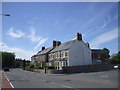
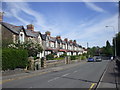

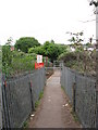
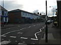
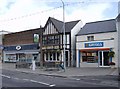
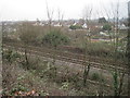

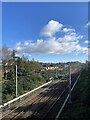
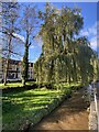

22 photos from this area
Area Information
Key information about the CF14 2LH including its size, population, and administrative classification.
- Area Type
- Postcode
- Area Size
- 1.2 hectares
- Population
- 1219
- Population Density
- 5131 people/km²
House Prices in CF14 2LH
29
Properties
£151,359
Average Sold Price
£52,000
Lowest Price
£327,000
Highest Price
Showing 29 properties
| Address | Type | Beds | Baths | Last Sale Price | Last Sale Date | |
|---|---|---|---|---|---|---|
| 57 Caldy Road, Llandaff North, Cardiff, CF14 2LH | house | 3 | - | £327,000 | Aug 2023 | |
| 53 Caldy Road, Llandaff North, Cardiff, CF14 2LH | Semi-detached | - | - | £123,000 | Apr 2022 | |
| 65 Caldy Road, Llandaff North, Cardiff, CF14 2LH | Semi-detached | - | - | £160,000 | Mar 2021 | |
| 87 Caldy Road, Llandaff North, Cardiff, CF14 2LH | house | 3 | 1 | £187,000 | May 2018 | |
| 71 Caldy Road, Llandaff North, Cardiff, CF14 2LH | house | - | - | £166,000 | Jan 2017 | |
| 79 Caldy Road, Llandaff North, Cardiff, CF14 2LH | Terraced | 3 | - | £175,000 | Nov 2016 | |
| 59 Caldy Road, Llandaff North, Cardiff, CF14 2LH | house | 3 | 1 | £160,000 | Oct 2015 | |
| 61 Caldy Road, Llandaff North, Cardiff, CF14 2LH | house | 3 | - | £132,000 | Oct 2010 | |
| 83 Caldy Road, Llandaff North, Cardiff, CF14 2LH | house | - | - | £109,950 | Feb 2010 | |
| 73 Caldy Road, Llandaff North, Cardiff, CF14 2LH | Terraced | - | - | £52,000 | Mar 2003 |
Page 1 of 3
Energy Efficiency in CF14 2LH
Amenities
Schools
| Rank | School | Type | Entry gender | Ages |
|---|
Explore more schools in this area
Go to Schools tabDemographics
Household Size
Family (3-5 people)
most common
Accommodation Type
Houses
most common
Tenure
66
majority
Ethnic Group
White
most common
Religion
N/A
most common
Household Composition
N/A
most common
Age
47
median
Adults (30-64 years)
most common
Household Deprivation
N/A
with no deprivation
NS-SEC
30
in Lower managerial occupations
Explore more demographic insights in this area
Go to Demographics tabPlanning
Planning Constraints
- Flood RiskPremium
- Ramsar Wetland SitesPremium
- Area of Outstanding Natural BeautyPremium
- Protected Nature ReservePremium
- Protected WoodlandPremium
- Crime RiskPremium