Area Overview for CF11 9EA
Photos of CF11 9EA
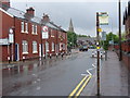
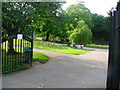
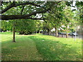
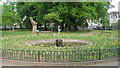
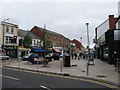
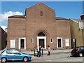
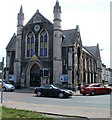
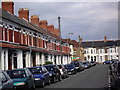
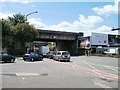
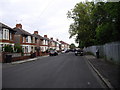
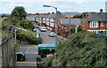

100 photos from this area
Area Information
Key information about the CF11 9EA including its size, population, and administrative classification.
- Area Type
- Postcode
- Area Size
- 7042 m²
- Population
- 1658
- Population Density
- 9221 people/km²
House Prices in CF11 9EA
33
Properties
£262,772
Average Sold Price
£140,000
Lowest Price
£370,000
Highest Price
Showing 33 properties
| Address | Type | Beds | Baths | Last Sale Price | Last Sale Date | |
|---|---|---|---|---|---|---|
| 73 Severn Road, Pontcanna, Cardiff, CF11 9EA | house | 3 | 2 | £325,000 | Mar 2023 | |
| 75 Severn Road, Pontcanna, Cardiff, CF11 9EA | house | 2 | - | £275,000 | Aug 2022 | |
| 85 Severn Road, Pontcanna, Cardiff, CF11 9EA | Terraced | 2 | 1 | £308,500 | May 2022 | |
| 83 Severn Road, Pontcanna, Cardiff, CF11 9EA | Terraced | 2 | 1 | £261,500 | Mar 2021 | |
| 77 Severn Road, Pontcanna, Cardiff, CF11 9EA | house | 2 | 1 | £275,600 | Jul 2019 | |
| 65 Severn Road, Pontcanna, Cardiff, CF11 9EA | house | - | - | £370,000 | Jul 2018 | |
| 74 Severn Road, Pontcanna, Cardiff, CF11 9EA | house | - | - | £365,000 | Sep 2017 | |
| 79 Severn Road, Pontcanna, Cardiff, CF11 9EA | Terraced | 2 | - | £226,933 | Jan 2015 | |
| 78 Severn Road, Cardiff, CF11 9EA | Detached | 3 | 1 | £229,000 | Sep 2011 | |
| 81 Severn Road, Pontcanna, Cardiff, CF11 9EA | Terraced | 2 | - | £140,000 | Apr 2011 |
Page 1 of 4
Energy Efficiency in CF11 9EA
Amenities
Schools
| Rank | School | Type | Entry gender | Ages |
|---|
Explore more schools in this area
Go to Schools tabDemographics
Household Size
Two person
most common
Accommodation Type
Houses
most common
Tenure
61
majority
Ethnic Group
White
most common
Religion
N/A
most common
Household Composition
N/A
most common
Age
47
median
Adults (30-64 years)
most common
Household Deprivation
N/A
with no deprivation
NS-SEC
55
in Lower managerial occupations
Explore more demographic insights in this area
Go to Demographics tabPlanning
Planning Constraints
- Flood RiskPremium
- Ramsar Wetland SitesPremium
- Area of Outstanding Natural BeautyPremium
- Protected Nature ReservePremium
- Protected WoodlandPremium
- Crime RiskPremium