Area Overview for CF11 9DD
Photos of CF11 9DD
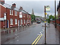
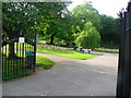
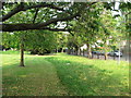
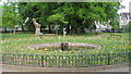
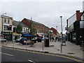
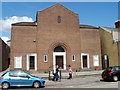
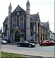
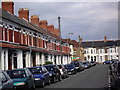

100 photos from this area
Area Information
Key information about the CF11 9DD including its size, population, and administrative classification.
- Area Type
- Postcode
- Area Size
- 7578 m²
- Population
- 1658
- Population Density
- 9221 people/km²
House Prices in CF11 9DD
40
Properties
£301,872
Average Sold Price
£74,000
Lowest Price
£580,000
Highest Price
Showing 40 properties
| Address | Type | Beds | Baths | Last Sale Price | Last Sale Date | |
|---|---|---|---|---|---|---|
| 62 Kings Road, Pontcanna, Cardiff, CF11 9DD | Terraced | 4 | 2 | £570,000 | Apr 2024 | |
| 64 Kings Road, Pontcanna, Cardiff, CF11 9DD | Terraced | 3 | 2 | £415,000 | Dec 2022 | |
| 98 Kings Road, Pontcanna, Cardiff, CF11 9DD | Retail | 4 | 2 | £580,000 | Oct 2022 | |
| 54 Kings Road, Pontcanna, Cardiff, CF11 9DD | Terraced | 3 | - | £355,000 | Jun 2021 | |
| 60 Kings Road, Pontcanna, Cardiff, CF11 9DD | Terraced | 4 | 1 | £485,000 | Nov 2019 | |
| 106 Kings Road, Pontcanna, Cardiff, CF11 9DD | Terraced | 6 | - | £377,000 | Aug 2018 | |
| 66 Kings Road, Pontcanna, Cardiff, CF11 9DD | house | - | - | £345,000 | Oct 2017 | |
| 56 Kings Road, Pontcanna, Cardiff, CF11 9DD | house | - | - | £268,750 | Feb 2017 | |
| 80 Kings Road, Pontcanna, Cardiff, CF11 9DD | Terraced | 5 | 3 | £380,000 | Dec 2013 | |
| 82 Kings Road, Pontcanna, Cardiff, CF11 9DD | house | 3 | - | £240,000 | Jul 2011 |
Page 1 of 4
Energy Efficiency in CF11 9DD
Amenities
Schools
| Rank | School | Type | Entry gender | Ages |
|---|
Explore more schools in this area
Go to Schools tabDemographics
Household Size
Two person
most common
Accommodation Type
Houses
most common
Tenure
61
majority
Ethnic Group
White
most common
Religion
N/A
most common
Household Composition
N/A
most common
Age
47
median
Adults (30-64 years)
most common
Household Deprivation
N/A
with no deprivation
NS-SEC
55
in Lower managerial occupations
Explore more demographic insights in this area
Go to Demographics tabPlanning
Planning Constraints
- Flood RiskPremium
- Ramsar Wetland SitesPremium
- Area of Outstanding Natural BeautyPremium
- Protected Nature ReservePremium
- Protected WoodlandPremium
- Crime RiskPremium