Area Overview for CF11 7JG
Photos of CF11 7JG
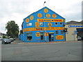
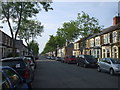

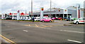
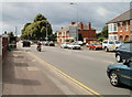
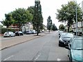
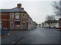
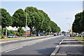
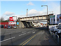
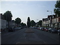
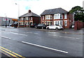
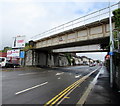
75 photos from this area
Area Information
Key information about the CF11 7JG including its size, population, and administrative classification.
- Area Type
- Postcode
- Area Size
- 8839 m²
- Population
- 1841
- Population Density
- 11212 people/km²
House Prices in CF11 7JG
62
Properties
£125,875
Average Sold Price
£69,000
Lowest Price
£225,000
Highest Price
Showing 62 properties
| Address | Type | Beds | Baths | Last Sale Price | Last Sale Date | |
|---|---|---|---|---|---|---|
| 218 Clive Street, Grangetown, Cardiff, CF11 7JG | house | - | - | £225,000 | Jun 2021 | |
| 214 Clive Street, Grangetown, Cardiff, CF11 7JG | Terraced | 3 | - | £185,000 | Oct 2017 | |
| 178 Clive Street, Grangetown, Cardiff, CF11 7JG | Terraced | 4 | - | £100,000 | Dec 2012 | |
| 188 Clive Street, Grangetown, Cardiff, CF11 7JG | Terraced | - | - | £150,000 | Aug 2005 | |
| 196B Clive Street, Grangetown, Cardiff, CF11 7JG | Flat | 2 | 1 | £85,000 | Mar 2003 | |
| 184A Clive Street, Grangetown, Cardiff, CF11 7JG | house | - | - | £103,000 | Jan 2003 | |
| 204 Clive Street, Grangetown, Cardiff, CF11 7JG | house | - | - | £90,000 | Dec 2001 | |
| 180 Clive Street, Grangetown, Cardiff, CF11 7JG | house | - | - | £69,000 | Apr 2000 | |
| Flat 1, 216 Clive Street, Grangetown, Cardiff, CF11 7JG | Terraced | 3 | - | - | - | |
| First Floor Flat, 176 Clive Street, Grangetown, Cardiff, CF11 7JG | Terraced | 5 | - | - | - |
Page 1 of 7
Energy Efficiency in CF11 7JG
Amenities
Schools
| Rank | School | Type | Entry gender | Ages |
|---|
Explore more schools in this area
Go to Schools tabDemographics
Household Size
One person
most common
Accommodation Type
Houses
most common
Tenure
38
majority
Ethnic Group
White
most common
Religion
N/A
most common
Household Composition
N/A
most common
Age
47
median
Adults (30-64 years)
most common
Household Deprivation
N/A
with no deprivation
NS-SEC
19
in Lower managerial occupations
Explore more demographic insights in this area
Go to Demographics tabPlanning
Planning Constraints
- Flood RiskPremium
- Ramsar Wetland SitesPremium
- Area of Outstanding Natural BeautyPremium
- Protected Nature ReservePremium
- Protected WoodlandPremium
- Crime RiskPremium