Area Overview for CF11 7DB
Photos of CF11 7DB
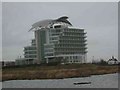
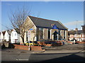
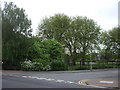

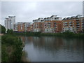
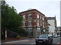
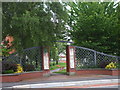
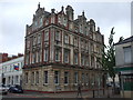
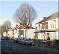
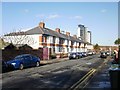

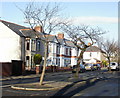
100 photos from this area
Area Information
Key information about the CF11 7DB including its size, population, and administrative classification.
- Area Type
- Postcode
- Area Size
- 7363 m²
- Population
- 1662
- Population Density
- 7028 people/km²
House Prices in CF11 7DB
23
Properties
£171,293
Average Sold Price
£44,000
Lowest Price
£299,950
Highest Price
Showing 23 properties
| Address | Type | Beds | Baths | Last Sale Price | Last Sale Date | |
|---|---|---|---|---|---|---|
| 10 Grange Place, Grangetown, Cardiff, CF11 7DB | Detached | 3 | 1 | £287,000 | Sep 2025 | |
| 8 Grange Place, Grangetown, Cardiff, CF11 7DB | house | - | - | £282,000 | Jul 2022 | |
| 1 Grange Place, Grangetown, Cardiff, CF11 7DB | house | 3 | - | £299,950 | Nov 2020 | |
| 19 Grange Place, Grangetown, Cardiff, CF11 7DB | house | - | - | £150,000 | Mar 2020 | |
| 13 Grange Place, Grangetown, Cardiff, CF11 7DB | Semi-detached | 3 | 1 | £278,000 | May 2019 | |
| 16 Grange Place, Grangetown, Cardiff, CF11 7DB | Semi-detached | - | - | £125,000 | Apr 2017 | |
| 20 Grange Place, Grangetown, Cardiff, CF11 7DB | house | - | - | £186,000 | Aug 2014 | |
| 17 Grange Place, Grangetown, Cardiff, CF11 7DB | Semi-detached | 3 | - | £185,000 | Apr 2014 | |
| 7 Grange Place, Grangetown, Cardiff, CF11 7DB | house | - | - | £175,000 | Oct 2009 | |
| Mews Cottage, Grange Place, Grangetown, Cardiff, CF11 7DB | Detached | - | - | £131,150 | Feb 2006 |
Page 1 of 3
Energy Efficiency in CF11 7DB
Amenities
Schools
| Rank | School | Type | Entry gender | Ages |
|---|
Explore more schools in this area
Go to Schools tabDemographics
Household Size
Family (3-5 people)
most common
Accommodation Type
Houses
most common
Tenure
60
majority
Ethnic Group
White
most common
Religion
N/A
most common
Household Composition
N/A
most common
Age
47
median
Adults (30-64 years)
most common
Household Deprivation
N/A
with no deprivation
NS-SEC
28
in Lower managerial occupations
Explore more demographic insights in this area
Go to Demographics tabPlanning
Planning Constraints
- Flood RiskPremium
- Ramsar Wetland SitesPremium
- Area of Outstanding Natural BeautyPremium
- Protected Nature ReservePremium
- Protected WoodlandPremium
- Crime RiskPremium