Area Overview for CF10 4LL
Photos of CF10 4LL
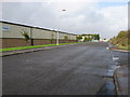
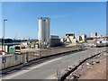
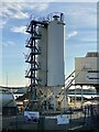

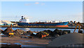


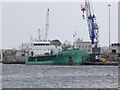
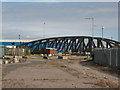

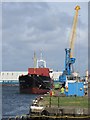
18 photos from this area
Area Information
Key information about the CF10 4LL including its size, population, and administrative classification.
- Area Type
- Postcode
- Area Size
- 6.0 hectares
- Population
- 1049
- Population Density
- 509 people/km²
House Prices in CF10 4LL
3
Properties
-
Average Sold Price
-
Lowest Price
-
Highest Price
Showing 3 properties
| Address | Type | Beds | Baths | Last Sale Price | Last Sale Date | |
|---|---|---|---|---|---|---|
| Cardiff Wood And Waste Recycling, Cold Stores Road, Butetown, Cardiff, CF10 4LL | Industrial | - | - | - | - | |
| Associated British Ports, Shed, Cold Stores Road, Butetown, Cardiff, CF10 4LL | warehouse | - | - | - | - | |
| Proposed Warehouse, Longships Road, Butetown, Cardiff, CF10 4LL | storage_distribution | - | - | - | - |
Energy Efficiency in CF10 4LL
Amenities
Schools
| Rank | School | Type | Entry gender | Ages |
|---|
Explore more schools in this area
Go to Schools tabDemographics
Household Size
One person
most common
Accommodation Type
Flats
most common
Tenure
27
majority
Ethnic Group
White
most common
Religion
N/A
most common
Household Composition
N/A
most common
Age
47
median
Adults (30-64 years)
most common
Household Deprivation
N/A
with no deprivation
NS-SEC
54
in Lower managerial occupations
Explore more demographic insights in this area
Go to Demographics tabPlanning
Planning Constraints
- Flood RiskPremium
- Ramsar Wetland SitesPremium
- Area of Outstanding Natural BeautyPremium
- Protected Nature ReservePremium
- Protected WoodlandPremium
- Crime RiskPremium