Area Overview for Penylan Community
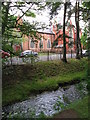
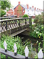
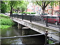
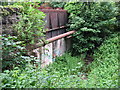
Photos of Penylan Community
Area Information
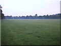
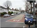
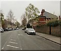
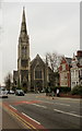
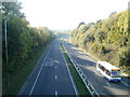
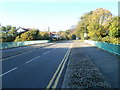
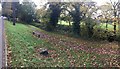
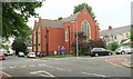
Penylan Community stands as one of the most affluent districts within Cardiff, the capital city of Wales. This civil parish covers 3.4 square kilometres and currently houses approximately 1,280 residents, though historical records indicate a population of around 1,981. The name means "the summit" in Welsh, reflecting its geography situated on the slopes north and south of the A48 dual carriageway. You will find a landscape defined by spacious, tree-lined roads and a significant presence of the grand Victorian and Edwardian houses that replaced former pastoral farms during the late nineteenth century. St Margaret's Church, with Norman foundations dating to the twelfth century, anchors the community alongside notable green spaces such as Roath Park and Waterloo Gardens. The area offers a quiet residential experience far removed from the city centre, yet it remains well connected. You can access key local amenities including Penylan Library and the Harlequins Recreation Ground without needing to travel far. Although the Penylan Synagogue closed in 2003 and was redeveloped into housing, the site now contributes to the residential fabric of the parish. Living in Penylan Community means residing in a district with a rich history, from its origins as a chapel of Tewkesbury Abbey to its current status as a sought-after home for those seeking established period properties in a green setting.
- Area Type
- Parish
- Area Size
- 3.4 km²
- Population
- 1280
- Population Density
- 377 people/km²
Demographics
The demographic profile of Penylan Community reveals a settlement with a distinctly older population. The median age for residents here is 70 years, making this one of the oldest age profiles in the Cardiff area. You will encounter fewer young families and more established households compared to other districts. Home ownership is the dominant form of tenure, with 76% of residents owning their homes outright or with a mortgage. This high level of ownership suggests long-term stability within the neighbourhood. The number of people per household averages out based on the total population density of 377 people per square kilometre. While specific data on household composition types is not broken down further in the current records, the high ownership rate typically correlates with larger family units or retired couples in built-up areas. The community reflects a mature demographic with strong ties to the locality, having transitioned from agricultural roots to a suburban residence over the last century and a half. If you consider demographic trends as a measure of community feel, Penylan presents a picture of senior residents enjoying a high standard of living within a historic parish setting.
Household Size
Accommodation Type
Tenure
Ethnic Group
Religion
Household Composition
Age
Household Deprivation
NS-SEC
Explore more demographic insights in this area
Go to Demographics tabPlanning
Planning Constraints
- Flood RiskPremium
- Ramsar Wetland SitesPremium
- Area of Outstanding Natural BeautyPremium
- Protected Nature ReservePremium
- Protected WoodlandPremium
- Crime RiskPremium