Area Overview for Grangetown Community
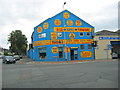
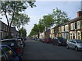
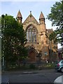
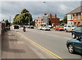
Photos of Grangetown Community

Area Information
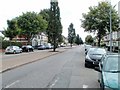
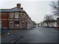
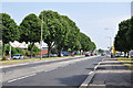
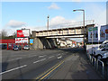
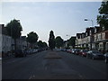
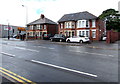
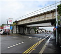
Grangetown Community sits south of Cardiff city centre, spanning 5.4 km² between the River Taff to the east and River Ely to the west. Historically a monastic grange, this area is now a densely populated urban suburb home to 8,785 residents. Today's living in Grangetown feels timeless, echoing its 12th-century origins alongside modern convenience. The community occupies a strategic position, having developed as a residential hub for dock workers after bridges linked Cardiff to Penarth from 1850 onwards. You will find the area has matured from marshy farming land into one of the capital's most established neighbourhoods. Life here blends deep historical roots with contemporary connectivity. The Grange stands as an 800-year-old landmark at the junction of Clive Street and Stockland Street, serving as a physical anchor to the area's past. Streets established during the 1860s and 1880s, such as Holmesdale, Kent, and Worcester, frame a living environment that values stability. With a population density of 1,620 people per km², you can expect a close-knit feel without the overwhelming congestion found in the city core. This unitary electoral division offers a grounded experience where history does not overshadow modern amenities.
- Area Type
- Parish
- Area Size
- 5.4 km²
- Population
- 8785
- Population Density
- 1620 people/km²
Demographics
The people of Grangetown Community represent a distinct demographic profile shaped by decades of established family life. Your neighbours are predominantly older, with a median age of 70 years. This age distribution suggests a community where long-term settlement is the norm rather than transient living. Historically driven by industrial employment, the acquisition of these homes has created stability among residents. Household composition in Grangetown reflects this settled nature. A significant portion of the 8,785 residents own their properties outright or through a mortgage. The area statistics show a home ownership rate of 42%, indicating that nearly half of the residents have a secure foothold in the local market. The remaining residents likely live in rental accommodation or share provided housing. While the population density reaches 1,620 people per km², the community manages this closely through its 5.4 km² footprint without overt sprawl. The median age of 70 does not imply an emptying population, but rather a mature demographic where many families have raised children locally over generations. This profile contrasts with areas experiencing rapid youth influx. Living in Grangetown means engaging with a community that values legacy and continuity. The historical ties to Margam Abbey and the Windsor Estate further cement this intergenerational connection, meaning service providers often understand the needs of an older, established clientele.
Household Size
Accommodation Type
Tenure
Ethnic Group
Religion
Household Composition
Age
Household Deprivation
NS-SEC
Explore more demographic insights in this area
Go to Demographics tabPlanning
Planning Constraints
- Flood RiskPremium
- Ramsar Wetland SitesPremium
- Area of Outstanding Natural BeautyPremium
- Protected Nature ReservePremium
- Protected WoodlandPremium
- Crime RiskPremium