Area Overview for Trowbridge Community
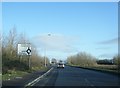
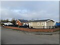
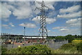
Photos of Trowbridge Community

Area Information
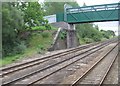
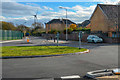
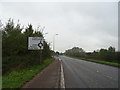
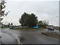
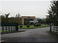
Trowbridge Community is a rural parish and electoral ward situated within the St Mellons area of eastern Cardiff, Wales. The parish covers an area of 12.2 km², hosting a population of 4,995 residents. This translates to a population density of 409 people per square kilometre. Historically, the land was low-lying farmland near sea level, part of the parish of Rumney in Monmouthshire until 1938. Housing development transformed the area after the Second World War, turning former agricultural land into a suburban district. The site was once known as Trowbridge Mawr and Trowbridge Bach. You will find this ward relies on its location off the main railway line to Bristol for broader connectivity. The area experienced significant change in the mid-1960s when estates expanded from Rumney. A notable historical event was the Great Flood of 1606, which contaminated the soil with seawater across the region. Recovery from that event took over five years. Today, living in Trowbridge Community involves navigating a landscape shaped by this agricultural past and post-war urban expansion. The Wentloog Environmental Centre now occupies the site of Trowbridge Bach. You should also note the presence of archaeological remains, including a Roman enclosure nearby on Crickhowell Road.
- Area Type
- Parish
- Area Size
- 12.2 km²
- Population
- 4995
- Population Density
- 409 people/km²
Demographics
The demographic profile of Trowbridge Community shows a community with a median age of 70. This figure indicates a population skewed heavily towards older residents compared to the national average. The most common age range is listed as 'Total', confirming the data relies on this aggregate median. You will find that 68% of the population owns their homes, a rate significantly higher than the national average. This high home ownership percentage suggests a stable, long-term resident base rather than a transient rental market. Household composition and predominant ethnicity data are listed as aggregates in available records, reflecting the overall community profile rather than segmented groups. The area does not carry specific labels for predominant ethnic group or religious affiliation in the provided figures. Consequently, the demographic narrative is defined by age and asset ownership. The social landscape likely reflects the history of the 1990s, when high-rise buildings faced reputational challenges due to anti-social behaviour. Local improvements since then, including better lighting and CCTV, support the current stability. The area was once listed among South Wales' most deprived wards in 1998, but current character descriptions do not emphasise this historical deprivation.
Household Size
Accommodation Type
Tenure
Ethnic Group
Religion
Household Composition
Age
Household Deprivation
NS-SEC
Explore more demographic insights in this area
Go to Demographics tabPlanning
Planning Constraints
- Flood RiskPremium
- Ramsar Wetland SitesPremium
- Area of Outstanding Natural BeautyPremium
- Protected Nature ReservePremium
- Protected WoodlandPremium
- Crime RiskPremium