Area Overview for NP12 3TS
Photos of NP12 3TS
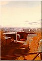
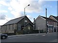
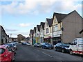
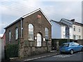
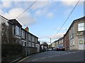
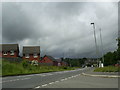
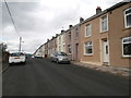
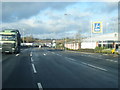
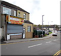
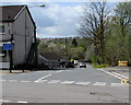
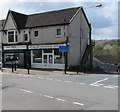
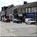
100 photos from this area
Area Information
Key information about the NP12 3TS including its size, population, and administrative classification.
- Area Type
- Postcode
- Area Size
- 1.7 hectares
- Population
- 1823
- Population Density
- 1619 people/km²
House Prices in NP12 3TS
36
Properties
£99,000
Average Sold Price
£37,000
Lowest Price
£242,500
Highest Price
Showing 36 properties
| Address | Type | Beds | Baths | Last Sale Price | Last Sale Date | |
|---|---|---|---|---|---|---|
| 29 Coundley Close, Fleur De Lis, NP12 3TS | Semi-detached | 3 | 1 | £178,000 | Dec 2023 | |
| 26 Coundley Close, Fleur De Lis, Blackwood, NP12 3TS | Semi-detached | 3 | 1 | £147,000 | Nov 2022 | |
| 3 Coundley Close, Fleur De Lis, NP12 3TS | house | - | - | £242,500 | Sep 2022 | |
| 12 Coundley Close, Fleur De Lis, NP12 3TS | house | - | - | £135,000 | May 2022 | |
| 18 Coundley Close, Fleur De Lis, NP12 3TS | house | - | - | £142,000 | May 2022 | |
| 7 Coundley Close, Fleur De Lis, NP12 3TS | house | - | - | £60,000 | Oct 2019 | |
| 19 Coundley Close, Fleur De Lis, NP12 3TS | house | 2 | 1 | £68,500 | Mar 2014 | |
| 25 Coundley Close, Fleur De Lis, NP12 3TS | house | - | - | £97,000 | Sep 2007 | |
| 1 Coundley Close, Fleur De Lis, NP12 3TS | Semi-detached | 3 | 2 | £96,000 | Apr 2006 | |
| 30 Coundley Close, Fleur De Lis, NP12 3TS | house | - | - | £55,000 | Oct 2003 |
Page 1 of 4
Energy Efficiency in NP12 3TS
Amenities
Schools
| Rank | School | Type | Entry gender | Ages |
|---|
Explore more schools in this area
Go to Schools tabDemographics
Household Size
Family (3-5 people)
most common
Accommodation Type
Houses
most common
Tenure
59
majority
Ethnic Group
White
most common
Religion
N/A
most common
Household Composition
N/A
most common
Age
47
median
Adults (30-64 years)
most common
Household Deprivation
N/A
with no deprivation
NS-SEC
25
in Lower managerial occupations
Explore more demographic insights in this area
Go to Demographics tabPlanning
Planning Constraints
- Flood RiskPremium
- Ramsar Wetland SitesPremium
- Area of Outstanding Natural BeautyPremium
- Protected Nature ReservePremium
- Protected WoodlandPremium
- Crime RiskPremium