Area Overview for NP12 1WH
Photos of NP12 1WH
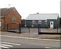
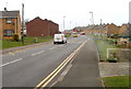
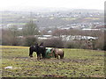
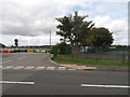
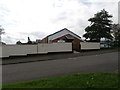
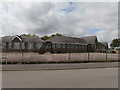
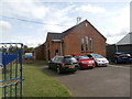
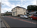
74 photos from this area
Area Information
Key information about the NP12 1WH including its size, population, and administrative classification.
- Area Type
- Postcode
- Area Size
- 8409 m²
- Population
- 1757
- Population Density
- 5448 people/km²
House Prices in NP12 1WH
34
Properties
£98,433
Average Sold Price
£28,334
Lowest Price
£160,000
Highest Price
Showing 34 properties
| Address | Type | Beds | Baths | Last Sale Price | Last Sale Date | |
|---|---|---|---|---|---|---|
| 60 Chartist Way, Blackwood, NP12 1WH | Terraced | 3 | - | £138,500 | Jul 2025 | |
| 38 Chartist Way, Blackwood, NP12 1WH | house | 3 | 1 | £122,500 | Apr 2023 | |
| 45 Chartist Way, Blackwood, NP12 1WH | house | 2 | - | £130,000 | Dec 2022 | |
| 65 Chartist Way, Blackwood, NP12 1WH | house | 2 | 1 | £112,000 | Oct 2021 | |
| 49 Chartist Way, Blackwood, NP12 1WH | Terraced | 2 | 1 | £90,000 | Sep 2020 | |
| Chartist House, 62 Chartist Way, Blackwood, NP12 1WH | house | - | - | £160,000 | Jun 2016 | |
| 69 Chartist Way, Blackwood, NP12 1WH | house | - | - | £93,000 | Aug 2007 | |
| 36 Chartist Way, Blackwood, NP12 1WH | house | - | - | £79,995 | Aug 2004 | |
| 59 Chartist Way, Blackwood, NP12 1WH | Terraced | - | - | £28,334 | May 2003 | |
| 46 Chartist Way, Blackwood, NP12 1WH | house | - | - | £30,000 | Nov 1996 |
Page 1 of 4
Energy Efficiency in NP12 1WH
Amenities
Schools
| Rank | School | Type | Entry gender | Ages |
|---|
Explore more schools in this area
Go to Schools tabDemographics
Household Size
Family (3-5 people)
most common
Accommodation Type
Houses
most common
Tenure
52
majority
Ethnic Group
White
most common
Religion
N/A
most common
Household Composition
N/A
most common
Age
47
median
Adults (30-64 years)
most common
Household Deprivation
N/A
with no deprivation
NS-SEC
18
in Lower managerial occupations
Explore more demographic insights in this area
Go to Demographics tabPlanning
Planning Constraints
- Flood RiskPremium
- Ramsar Wetland SitesPremium
- Area of Outstanding Natural BeautyPremium
- Protected Nature ReservePremium
- Protected WoodlandPremium
- Crime RiskPremium