Area Overview for NP12 0PF
Photos of NP12 0PF
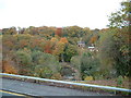
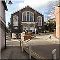
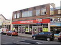
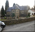
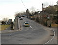
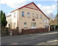
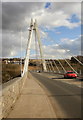

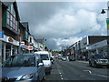
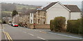
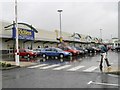
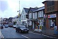
100 photos from this area
Area Information
Key information about the NP12 0PF including its size, population, and administrative classification.
- Area Type
- Postcode
- Area Size
- 1.8 hectares
- Population
- 1934
- Population Density
- 838 people/km²
House Prices in NP12 0PF
13
Properties
£244,786
Average Sold Price
£50,000
Lowest Price
£550,000
Highest Price
Showing 13 properties
| Address | Type | Beds | Baths | Last Sale Price | Last Sale Date | |
|---|---|---|---|---|---|---|
| St Davids House, Halls Crossing, Woodfieldside, Pontllanfraith, NP12 0PF | house | - | - | £550,000 | Oct 2021 | |
| Ael-y-bryn, Halls Crossing, Woodfieldside, Pontllanfraith, NP12 0PF | Detached | 3 | 2 | £230,000 | Oct 2018 | |
| St Davids Lodge, Halls Crossing, Woodfieldside, Pontllanfraith, NP12 0PF | Detached | - | - | £250,000 | Mar 2016 | |
| Ty Canrif, Halls Crossing, Woodfieldside, Pontllanfraith, NP12 0PF | house | - | - | £275,000 | Apr 2014 | |
| Thornfield, Halls Crossing, Woodfieldside, Pontllanfraith, NP12 0PF | Detached | - | - | £240,000 | Jun 2006 | |
| Ty Ffynnon Cottage, Halls Crossing, Woodfieldside, Pontllanfraith, NP12 0PF | Detached | - | - | £118,500 | Oct 2002 | |
| Woodfield Villa, Halls Crossing, Woodfieldside, Pontllanfraith, NP12 0PF | Detached | - | - | £50,000 | May 1997 | |
| Bryngwyn, Halls Crossing, Woodfieldside, Pontllanfraith, NP12 0PF | Semi-detached | - | - | - | - | |
| Rock Villa, Halls Crossing, Woodfieldside, Pontllanfraith, NP12 0PF | Semi-detached | - | - | - | - | |
| Ty Derwen, Halls Crossing, Woodfieldside, Pontllanfraith, NP12 0PF | house | - | - | - | - |
Page 1 of 2
Energy Efficiency in NP12 0PF
Amenities
Schools
| Rank | School | Type | Entry gender | Ages |
|---|
Explore more schools in this area
Go to Schools tabDemographics
Household Size
Two person
most common
Accommodation Type
Houses
most common
Tenure
86
majority
Ethnic Group
White
most common
Religion
N/A
most common
Household Composition
N/A
most common
Age
47
median
Adults (30-64 years)
most common
Household Deprivation
N/A
with no deprivation
NS-SEC
34
in Lower managerial occupations
Explore more demographic insights in this area
Go to Demographics tabPlanning
Planning Constraints
- Flood RiskPremium
- Ramsar Wetland SitesPremium
- Area of Outstanding Natural BeautyPremium
- Protected Nature ReservePremium
- Protected WoodlandPremium
- Crime RiskPremium