Area Overview for NP12 0BX
Photos of NP12 0BX
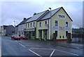
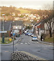
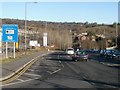
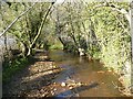

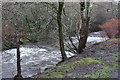
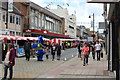
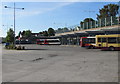
100 photos from this area
Area Information
Key information about the NP12 0BX including its size, population, and administrative classification.
- Area Type
- Postcode
- Area Size
- 5.4 hectares
- Population
- 1934
- Population Density
- 838 people/km²
House Prices in NP12 0BX
35
Properties
£112,190
Average Sold Price
£37,500
Lowest Price
£220,000
Highest Price
Showing 35 properties
| Address | Type | Beds | Baths | Last Sale Price | Last Sale Date | |
|---|---|---|---|---|---|---|
| 26 Woodfield Park Crescent, Woodfieldside, Pontllanfraith, NP12 0BX | Terraced | 2 | 1 | £130,000 | Jul 2024 | |
| 35 Woodfield Park Crescent, Woodfieldside, Pontllanfraith, NP12 0BX | Terraced | 2 | 1 | £130,000 | May 2024 | |
| 25 Woodfield Park Crescent, Woodfieldside, Pontllanfraith, NP12 0BX | Terraced | 2 | 1 | £92,000 | Apr 2024 | |
| 1 Woodfield Park Crescent, Woodfieldside, Pontllanfraith, NP12 0BX | Semi-detached | 2 | - | £220,000 | Nov 2023 | |
| 21 Woodfield Park Crescent, Woodfieldside, Pontllanfraith, NP12 0BX | Terraced | 3 | - | £172,000 | Dec 2022 | |
| 4 Woodfield Park Crescent, Woodfieldside, Pontllanfraith, NP12 0BX | Bungalow | - | - | £160,000 | Jun 2021 | |
| 10 Woodfield Park Crescent, Woodfieldside, Pontllanfraith, NP12 0BX | house | - | - | £125,000 | Apr 2021 | |
| 9 Woodfield Park Crescent, Woodfieldside, Pontllanfraith, NP12 0BX | house | - | - | £108,000 | Nov 2019 | |
| 5 Woodfield Park Crescent, Woodfieldside, Pontllanfraith, NP12 0BX | Semi-detached | 2 | - | £157,000 | Jul 2019 | |
| 29 Woodfield Park Crescent, Woodfieldside, Pontllanfraith, NP12 0BX | house | 2 | 1 | £100,000 | May 2018 |
Page 1 of 4
Energy Efficiency in NP12 0BX
Amenities
Schools
| Rank | School | Type | Entry gender | Ages |
|---|
Explore more schools in this area
Go to Schools tabDemographics
Household Size
Two person
most common
Accommodation Type
Houses
most common
Tenure
86
majority
Ethnic Group
White
most common
Religion
N/A
most common
Household Composition
N/A
most common
Age
47
median
Adults (30-64 years)
most common
Household Deprivation
N/A
with no deprivation
NS-SEC
34
in Lower managerial occupations
Explore more demographic insights in this area
Go to Demographics tabPlanning
Planning Constraints
- Flood RiskPremium
- Ramsar Wetland SitesPremium
- Area of Outstanding Natural BeautyPremium
- Protected Nature ReservePremium
- Protected WoodlandPremium
- Crime RiskPremium