Area Overview for NP11 7QH
Photos of NP11 7QH
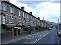
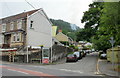
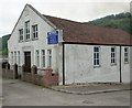
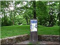
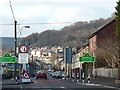
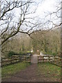
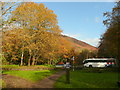

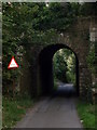
100 photos from this area
Area Information
Key information about the NP11 7QH including its size, population, and administrative classification.
- Area Type
- Postcode
- Area Size
- 1.7 hectares
- Population
- 2380
- Population Density
- 375 people/km²
House Prices in NP11 7QH
53
Properties
£86,399
Average Sold Price
£27,000
Lowest Price
£190,000
Highest Price
Showing 53 properties
| Address | Type | Beds | Baths | Last Sale Price | Last Sale Date | |
|---|---|---|---|---|---|---|
| 63 Islwyn Road, Wattsville, NP11 7QH | Terraced | 3 | 2 | £173,500 | Nov 2025 | |
| 14 Islwyn Road, Wattsville, NP11 7QH | Terraced | 3 | 2 | £92,518 | Oct 2025 | |
| 26 Islwyn Road, Wattsville, NP11 7QH | Terraced | 3 | 1 | £182,500 | Sep 2024 | |
| 27 Islwyn Road, Wattsville, NP11 7QH | Terraced | 3 | 1 | £190,000 | Jul 2024 | |
| 35 Islwyn Road, Wattsville, NP11 7QH | Terraced | 2 | 1 | £140,500 | Jan 2023 | |
| 36 Islwyn Road, Wattsville, NP11 7QH | house | - | - | £95,500 | Nov 2020 | |
| 60 Islwyn Road, Wattsville, NP11 7QH | Terraced | 3 | - | £71,000 | Jan 2017 | |
| 31 Islwyn Road, Wattsville, NP11 7QH | house | - | - | £87,500 | Dec 2016 | |
| 34 Islwyn Road, Wattsville, NP11 7QH | Terraced | - | - | £80,000 | Aug 2015 | |
| 70 Islwyn Road, Wattsville, NP11 7QH | house | - | - | £100,000 | Oct 2014 |
Page 1 of 6
Energy Efficiency in NP11 7QH
Amenities
Schools
| Rank | School | Type | Entry gender | Ages |
|---|
Explore more schools in this area
Go to Schools tabDemographics
Household Size
Family (3-5 people)
most common
Accommodation Type
Houses
most common
Tenure
65
majority
Ethnic Group
White
most common
Religion
N/A
most common
Household Composition
N/A
most common
Age
47
median
Adults (30-64 years)
most common
Household Deprivation
N/A
with no deprivation
NS-SEC
25
in Lower managerial occupations
Explore more demographic insights in this area
Go to Demographics tabPlanning
Planning Constraints
- Flood RiskPremium
- Ramsar Wetland SitesPremium
- Area of Outstanding Natural BeautyPremium
- Protected Nature ReservePremium
- Protected WoodlandPremium
- Crime RiskPremium