Area Overview for NP11 6QZ
Photos of NP11 6QZ
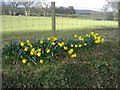
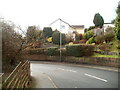
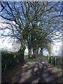
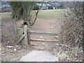
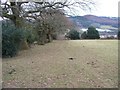
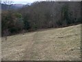
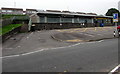

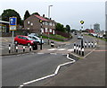
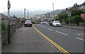
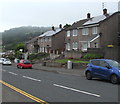
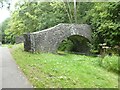
56 photos from this area
Area Information
Key information about the NP11 6QZ including its size, population, and administrative classification.
- Area Type
- Postcode
- Area Size
- 8819 m²
- Population
- 1309
- Population Density
- 2239 people/km²
House Prices in NP11 6QZ
20
Properties
£111,333
Average Sold Price
£54,000
Lowest Price
£170,000
Highest Price
Showing 20 properties
| Address | Type | Beds | Baths | Last Sale Price | Last Sale Date | |
|---|---|---|---|---|---|---|
| 10 Mendip Close, Trenewydd Park, Risca, NP11 6QZ | Semi-detached | 3 | - | £170,000 | Nov 2019 | |
| 1 Mendip Close, Trenewydd Park, Risca, NP11 6QZ | Semi-detached | 2 | 1 | £145,000 | Feb 2018 | |
| 15 Mendip Close, Trenewydd Park, Risca, NP11 6QZ | Semi-detached | 2 | 1 | £135,000 | Nov 2016 | |
| 9 Mendip Close, Trenewydd Park, Risca, NP11 6QZ | Semi-detached | - | - | £72,000 | Jul 2012 | |
| 2 Mendip Close, Trenewydd Park, Risca, NP11 6QZ | Semi-detached | - | - | £92,000 | Dec 2003 | |
| 13 Mendip Close, Trenewydd Park, Risca, NP11 6QZ | Semi-detached | - | - | £54,000 | Sep 2003 | |
| 18 Mendip Close, Trenewydd Park, Risca, NP11 6QZ | Semi-detached | - | - | - | - | |
| 14 Mendip Close, Trenewydd Park, Risca, NP11 6QZ | house | - | - | - | - | |
| 8 Mendip Close, Trenewydd Park, Risca, NP11 6QZ | Bungalow | - | - | - | - | |
| 17 Mendip Close, Trenewydd Park, Risca, NP11 6QZ | Semi-detached | - | - | - | - |
Page 1 of 2
Energy Efficiency in NP11 6QZ
Amenities
Schools
| Rank | School | Type | Entry gender | Ages |
|---|
Explore more schools in this area
Go to Schools tabDemographics
Household Size
Two person
most common
Accommodation Type
Houses
most common
Tenure
79
majority
Ethnic Group
White
most common
Religion
N/A
most common
Household Composition
N/A
most common
Age
47
median
Adults (30-64 years)
most common
Household Deprivation
N/A
with no deprivation
NS-SEC
29
in Lower managerial occupations
Explore more demographic insights in this area
Go to Demographics tabPlanning
Planning Constraints
- Flood RiskPremium
- Ramsar Wetland SitesPremium
- Area of Outstanding Natural BeautyPremium
- Protected Nature ReservePremium
- Protected WoodlandPremium
- Crime RiskPremium