Area Overview for NP11 6AF
Photos of NP11 6AF

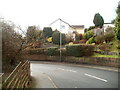
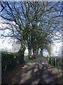
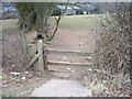
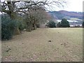
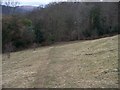
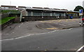

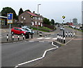
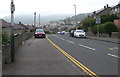
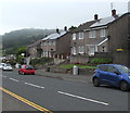
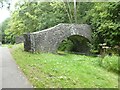
56 photos from this area
Area Information
Key information about the NP11 6AF including its size, population, and administrative classification.
- Area Type
- Postcode
- Area Size
- 1.9 hectares
- Population
- 1441
- Population Density
- 4439 people/km²
House Prices in NP11 6AF
36
Properties
£103,239
Average Sold Price
£20,880
Lowest Price
£185,000
Highest Price
Showing 36 properties
| Address | Type | Beds | Baths | Last Sale Price | Last Sale Date | |
|---|---|---|---|---|---|---|
| 45 Sycamore Crescent, Ty Sign, Risca, NP11 6AF | Semi-detached | 3 | 1 | £170,000 | Sep 2023 | |
| 51 Sycamore Crescent, Ty Sign, Risca, NP11 6AF | Semi-detached | 3 | 1 | £185,000 | Apr 2023 | |
| 70 Sycamore Crescent, Ty Sign, Risca, NP11 6AF | Semi-detached | 2 | 1 | £146,000 | Oct 2022 | |
| 65 Sycamore Crescent, Ty Sign, Risca, NP11 6AF | Semi-detached | 3 | 1 | £140,000 | Oct 2021 | |
| 52 Sycamore Crescent, Ty Sign, Risca, NP11 6AF | house | - | - | £122,000 | Feb 2021 | |
| 42 Sycamore Crescent, Ty Sign, Risca, NP11 6AF | Semi-detached | 2 | 1 | £111,950 | Nov 2020 | |
| 50 Sycamore Crescent, Ty Sign, Risca, NP11 6AF | Semi-detached | 2 | 1 | £125,000 | Feb 2020 | |
| 54 Sycamore Crescent, Ty Sign, Risca, NP11 6AF | Semi-detached | 2 | 1 | £95,000 | Dec 2017 | |
| 38 Sycamore Crescent, Ty Sign, Risca, NP11 6AF | Semi-detached | 2 | 1 | £120,000 | Oct 2017 | |
| 58 Sycamore Crescent, Ty Sign, Risca, NP11 6AF | house | - | - | £70,000 | Sep 2016 |
Page 1 of 4
Energy Efficiency in NP11 6AF
Amenities
Schools
| Rank | School | Type | Entry gender | Ages |
|---|
Explore more schools in this area
Go to Schools tabDemographics
Household Size
Two person
most common
Accommodation Type
Houses
most common
Tenure
57
majority
Ethnic Group
White
most common
Religion
N/A
most common
Household Composition
N/A
most common
Age
47
median
Adults (30-64 years)
most common
Household Deprivation
N/A
with no deprivation
NS-SEC
19
in Lower managerial occupations
Explore more demographic insights in this area
Go to Demographics tabPlanning
Planning Constraints
- Flood RiskPremium
- Ramsar Wetland SitesPremium
- Area of Outstanding Natural BeautyPremium
- Protected Nature ReservePremium
- Protected WoodlandPremium
- Crime RiskPremium