Area Overview for NP11 5FE
Photos of NP11 5FE

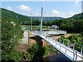

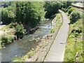
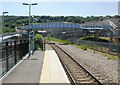
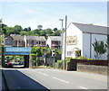
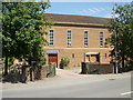
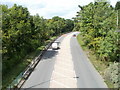
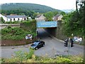


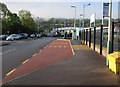
100 photos from this area
Area Information
Key information about the NP11 5FE including its size, population, and administrative classification.
- Area Type
- Postcode
- Area Size
- 4.8 hectares
- Population
- 1440
- Population Density
- 1033 people/km²
House Prices in NP11 5FE
6
Properties
£97,250
Average Sold Price
£34,000
Lowest Price
£140,000
Highest Price
Showing 6 properties
| Address | Type | Beds | Baths | Last Sale Price | Last Sale Date | |
|---|---|---|---|---|---|---|
| Woodleigh House, Bridge Street, Newbridge, NP11 5FE | Terraced | 2 | 1 | £130,000 | May 2023 | |
| Glenavon, Bridge Street, Newbridge, NP11 5FE | house | - | - | £85,000 | Apr 2018 | |
| Flat 1, The Goldmine Bar And Grill, Bridge Street, Newbridge, NP11 5FE | Flat | - | - | £140,000 | Mar 2004 | |
| Glan-y-nant, Bridge Street, Newbridge, NP11 5FE | Terraced | - | - | £34,000 | Jul 1999 | |
| Pen-y-bont, 1 Bridge Street, Newbridge, NP11 5FE | Terraced | - | - | - | - | |
| Ty-hir, Bridge Street, Newbridge, NP11 5FE | Detached | - | - | - | - |
Energy Efficiency in NP11 5FE
Amenities
Schools
| Rank | School | Type | Entry gender | Ages |
|---|
Explore more schools in this area
Go to Schools tabDemographics
Household Size
Two person
most common
Accommodation Type
Houses
most common
Tenure
65
majority
Ethnic Group
White
most common
Religion
N/A
most common
Household Composition
N/A
most common
Age
47
median
Adults (30-64 years)
most common
Household Deprivation
N/A
with no deprivation
NS-SEC
23
in Lower managerial occupations
Explore more demographic insights in this area
Go to Demographics tabPlanning
Planning Constraints
- Flood RiskPremium
- Ramsar Wetland SitesPremium
- Area of Outstanding Natural BeautyPremium
- Protected Nature ReservePremium
- Protected WoodlandPremium
- Crime RiskPremium