Area Overview for NP11 5AD
Photos of NP11 5AD
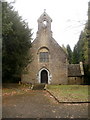
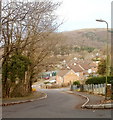
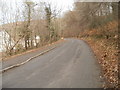
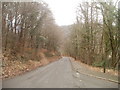
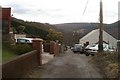
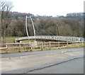
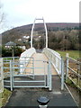
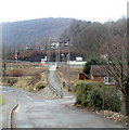
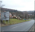
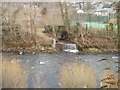
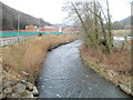
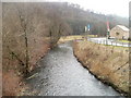
100 photos from this area
Area Information
Key information about the NP11 5AD including its size, population, and administrative classification.
- Area Type
- Postcode
- Area Size
- 1.1 hectares
- Population
- 1503
- Population Density
- 642 people/km²
House Prices in NP11 5AD
24
Properties
£110,156
Average Sold Price
£58,950
Lowest Price
£205,000
Highest Price
Showing 24 properties
| Address | Type | Beds | Baths | Last Sale Price | Last Sale Date | |
|---|---|---|---|---|---|---|
| 45 High Meadow, Abercarn, NP11 5AD | Detached | 3 | 1 | £205,000 | Mar 2025 | |
| 47 High Meadow, Abercarn, NP11 5AD | Semi-detached | 3 | - | £118,000 | Apr 2018 | |
| 59 High Meadow, Abercarn, NP11 5AD | house | - | - | £115,500 | Nov 2017 | |
| 58 High Meadow, Abercarn, NP11 5AD | Semi-detached | 3 | 1 | £98,000 | Nov 2017 | |
| 65 High Meadow, Abercarn, NP11 5AD | house | - | - | £89,000 | Mar 2016 | |
| 57 High Meadow, Abercarn, NP11 5AD | house | - | - | £102,000 | Oct 2010 | |
| 48 High Meadow, Abercarn, NP11 5AD | house | - | - | £99,995 | Jul 2009 | |
| 50 High Meadow, Abercarn, NP11 5AD | house | 3 | 1 | £104,959 | Jun 2008 | |
| 66 High Meadow, Abercarn, NP11 5AD | Semi-detached | - | - | £58,950 | Nov 2002 | |
| 61 High Meadow, Abercarn, NP11 5AD | house | 3 | 2 | - | - |
Page 1 of 3
Energy Efficiency in NP11 5AD
Amenities
Schools
| Rank | School | Type | Entry gender | Ages |
|---|
Explore more schools in this area
Go to Schools tabDemographics
Household Size
Family (3-5 people)
most common
Accommodation Type
Houses
most common
Tenure
65
majority
Ethnic Group
White
most common
Religion
N/A
most common
Household Composition
N/A
most common
Age
47
median
Adults (30-64 years)
most common
Household Deprivation
N/A
with no deprivation
NS-SEC
22
in Lower managerial occupations
Explore more demographic insights in this area
Go to Demographics tabPlanning
Planning Constraints
- Flood RiskPremium
- Ramsar Wetland SitesPremium
- Area of Outstanding Natural BeautyPremium
- Protected Nature ReservePremium
- Protected WoodlandPremium
- Crime RiskPremium