Area Overview for NP11 3DT
Photos of NP11 3DT
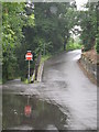
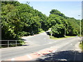
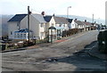
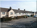
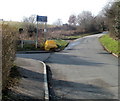
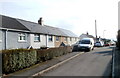
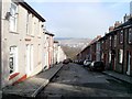
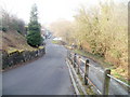
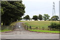
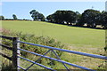
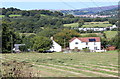
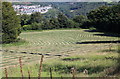
73 photos from this area
Area Information
Key information about the NP11 3DT including its size, population, and administrative classification.
- Area Type
- Postcode
- Area Size
- 4224 m²
- Population
- 1407
- Population Density
- 285 people/km²
House Prices in NP11 3DT
24
Properties
£65,269
Average Sold Price
£23,500
Lowest Price
£120,000
Highest Price
Showing 24 properties
| Address | Type | Beds | Baths | Last Sale Price | Last Sale Date | |
|---|---|---|---|---|---|---|
| 32 William Street, Treowen, NP11 3DT | house | - | - | £118,000 | Jul 2021 | |
| 45 William Street, Treowen, NP11 3DT | Terraced | 3 | 1 | £120,000 | Dec 2020 | |
| 31 William Street, Treowen, NP11 3DT | house | - | - | £113,000 | Oct 2020 | |
| 44 William Street, Treowen, NP11 3DT | house | - | - | £86,000 | Dec 2016 | |
| 40 William Street, Treowen, NP11 3DT | Terraced | - | - | £56,500 | Mar 2009 | |
| 39 William Street, Treowen, NP11 3DT | Terraced | - | - | £97,500 | Jan 2008 | |
| 43 William Street, Treowen, NP11 3DT | house | - | - | £78,000 | Aug 2004 | |
| 27 William Street, Treowen, NP11 3DT | Terraced | - | - | £34,750 | Oct 2001 | |
| 36 William Street, Treowen, NP11 3DT | Terraced | - | - | £31,850 | Jul 2001 | |
| 49 William Street, Treowen, NP11 3DT | Terraced | - | - | £33,950 | Jun 1999 |
Page 1 of 3
Energy Efficiency in NP11 3DT
Amenities
Schools
| Rank | School | Type | Entry gender | Ages |
|---|
Explore more schools in this area
Go to Schools tabDemographics
Household Size
Two person
most common
Accommodation Type
Houses
most common
Tenure
77
majority
Ethnic Group
White
most common
Religion
N/A
most common
Household Composition
N/A
most common
Age
47
median
Adults (30-64 years)
most common
Household Deprivation
N/A
with no deprivation
NS-SEC
23
in Lower managerial occupations
Explore more demographic insights in this area
Go to Demographics tabPlanning
Planning Constraints
- Flood RiskPremium
- Ramsar Wetland SitesPremium
- Area of Outstanding Natural BeautyPremium
- Protected Nature ReservePremium
- Protected WoodlandPremium
- Crime RiskPremium