Area Overview for CF83 4HS
Photos of CF83 4HS
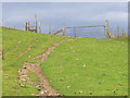
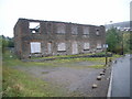
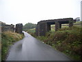
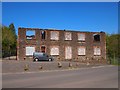
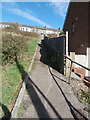
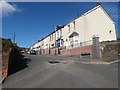
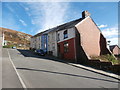

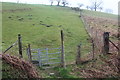
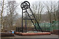
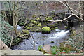
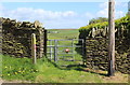
70 photos from this area
Area Information
Key information about the CF83 4HS including its size, population, and administrative classification.
- Area Type
- Postcode
- Area Size
- 1.3 hectares
- Population
- 1848
- Population Density
- 248 people/km²
House Prices in CF83 4HS
35
Properties
£93,069
Average Sold Price
£35,950
Lowest Price
£170,000
Highest Price
Showing 35 properties
| Address | Type | Beds | Baths | Last Sale Price | Last Sale Date | |
|---|---|---|---|---|---|---|
| 17 Stanley Street, Senghenydd, CF83 4HS | Semi-detached | 3 | 1 | £170,000 | May 2025 | |
| 27 Stanley Street, Senghenydd, CF83 4HS | Terraced | 3 | 2 | £92,000 | Mar 2025 | |
| 29 Stanley Street, Senghenydd, Caerphilly, CF83 4HS | Terraced | 3 | 1 | £100,000 | Apr 2024 | |
| 1 Stanley Street, Senghenydd, CF83 4HS | Semi-detached | 3 | 1 | £130,000 | Mar 2024 | |
| 13 Stanley Street, Senghenydd, CF83 4HS | Semi-detached | 3 | 1 | £128,500 | Nov 2023 | |
| 23 Stanley Street, Senghenydd, CF83 4HS | Semi-detached | 3 | 1 | £115,000 | Nov 2021 | |
| 57 Stanley Street, Senghenydd, CF83 4HS | house | - | - | £106,000 | Jul 2021 | |
| 21 Stanley Street, Senghenydd, CF83 4HS | Semi-detached | 3 | 1 | £94,000 | Dec 2019 | |
| 9 Stanley Street, Senghenydd, CF83 4HS | Semi-detached | 3 | 1 | £115,000 | Sep 2019 | |
| 7 Stanley Street, Senghenydd, CF83 4HS | Semi-detached | 3 | - | £75,000 | Apr 2018 |
Page 1 of 4
Energy Efficiency in CF83 4HS
Amenities
Schools
| Rank | School | Type | Entry gender | Ages |
|---|
Explore more schools in this area
Go to Schools tabDemographics
Household Size
One person
most common
Accommodation Type
Houses
most common
Tenure
55
majority
Ethnic Group
White
most common
Religion
N/A
most common
Household Composition
N/A
most common
Age
47
median
Adults (30-64 years)
most common
Household Deprivation
N/A
with no deprivation
NS-SEC
15
in Lower managerial occupations
Explore more demographic insights in this area
Go to Demographics tabPlanning
Planning Constraints
- Flood RiskPremium
- Ramsar Wetland SitesPremium
- Area of Outstanding Natural BeautyPremium
- Protected Nature ReservePremium
- Protected WoodlandPremium
- Crime RiskPremium