Area Overview for CF83 1FY
Photos of CF83 1FY
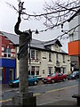
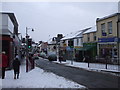

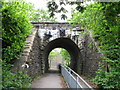
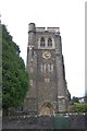
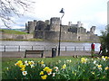
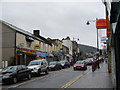
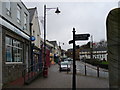
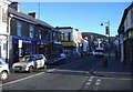
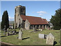
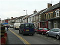
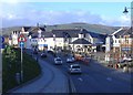
100 photos from this area
Area Information
Key information about the CF83 1FY including its size, population, and administrative classification.
- Area Type
- Postcode
- Area Size
- 5679 m²
- Population
- 1407
- Population Density
- 4102 people/km²
House Prices in CF83 1FY
31
Properties
£122,923
Average Sold Price
£41,000
Lowest Price
£195,000
Highest Price
Showing 31 properties
| Address | Type | Beds | Baths | Last Sale Price | Last Sale Date | |
|---|---|---|---|---|---|---|
| 16 Broomfield Street, Caerphilly, CF83 1FY | Terraced | 2 | 1 | £185,000 | May 2025 | |
| 7 Broomfield Street, Caerphilly, CF83 1FY | Terraced | 3 | 1 | £145,000 | Mar 2025 | |
| 17 Broomfield Street, Caerphilly, CF83 1FY | Terraced | 3 | 1 | £150,000 | Feb 2024 | |
| 26 Broomfield Street, Caerphilly, CF83 1FY | Semi-detached | 3 | 1 | £95,000 | Dec 2023 | |
| 5 Broomfield Street, Caerphilly, CF83 1FY | Terraced | 3 | 1 | £174,000 | Sep 2022 | |
| 15 Broomfield Street, Caerphilly, CF83 1FY | Terraced | 3 | 1 | £195,000 | Sep 2022 | |
| 3 Broomfield Street, Caerphilly, CF83 1FY | Terraced | 3 | 1 | £132,500 | Mar 2021 | |
| 12 Broomfield Street, Caerphilly, CF83 1FY | Terraced | 3 | - | £160,000 | Feb 2021 | |
| 29 Broomfield Street, Caerphilly, CF83 1FY | Terraced | 3 | - | £140,000 | Jun 2020 | |
| 21 Broomfield Street, Caerphilly, CF83 1FY | Terraced | 2 | 1 | £129,950 | Jan 2019 |
Page 1 of 4
Energy Efficiency in CF83 1FY
Amenities
Schools
| Rank | School | Type | Entry gender | Ages |
|---|
Explore more schools in this area
Go to Schools tabDemographics
Household Size
One person
most common
Accommodation Type
Houses
most common
Tenure
62
majority
Ethnic Group
White
most common
Religion
N/A
most common
Household Composition
N/A
most common
Age
47
median
Adults (30-64 years)
most common
Household Deprivation
N/A
with no deprivation
NS-SEC
30
in Lower managerial occupations
Explore more demographic insights in this area
Go to Demographics tabPlanning
Planning Constraints
- Flood RiskPremium
- Ramsar Wetland SitesPremium
- Area of Outstanding Natural BeautyPremium
- Protected Nature ReservePremium
- Protected WoodlandPremium
- Crime RiskPremium