Area Overview for CF81 8SA
Photos of CF81 8SA
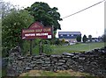
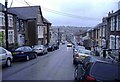
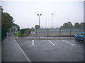
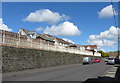
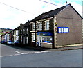
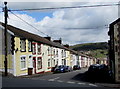
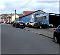
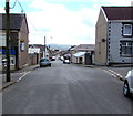
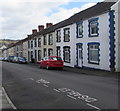
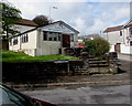
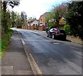
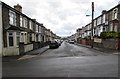
76 photos from this area
Area Information
Key information about the CF81 8SA including its size, population, and administrative classification.
- Area Type
- Postcode
- Area Size
- 1.5 hectares
- Population
- 1446
- Population Density
- 3943 people/km²
House Prices in CF81 8SA
47
Properties
£70,129
Average Sold Price
£10,000
Lowest Price
£135,000
Highest Price
Showing 47 properties
| Address | Type | Beds | Baths | Last Sale Price | Last Sale Date | |
|---|---|---|---|---|---|---|
| 47 West Street, Bargoed, CF81 8SA | Terraced | 3 | 1 | £135,000 | May 2023 | |
| 33 West Street, Bargoed, CF81 8SA | house | - | - | £87,000 | Jun 2022 | |
| 73 West Street, Bargoed, CF81 8SA | house | - | - | £80,000 | Feb 2022 | |
| 59 West Street, Bargoed, CF81 8SA | Terraced | 3 | 1 | £102,000 | Sep 2020 | |
| 70 West Street, Bargoed, CF81 8SA | Terraced | 3 | 1 | £92,950 | May 2018 | |
| 72 West Street, Bargoed, CF81 8SA | Terraced | 2 | - | £56,000 | May 2016 | |
| 57 West Street, Bargoed, CF81 8SA | Terraced | 3 | 1 | £65,000 | Aug 2015 | |
| 69 West Street, Bargoed, CF81 8SA | house | - | - | £52,000 | Jul 2014 | |
| 68 West Street, Bargoed, CF81 8SA | house | - | - | £46,000 | Nov 2012 | |
| 63 West Street, Bargoed, CF81 8SA | Terraced | - | - | £75,000 | Jul 2011 |
Page 1 of 5
Energy Efficiency in CF81 8SA
Amenities
Schools
| Rank | School | Type | Entry gender | Ages |
|---|
Explore more schools in this area
Go to Schools tabDemographics
Household Size
One person
most common
Accommodation Type
Houses
most common
Tenure
71
majority
Ethnic Group
White
most common
Religion
N/A
most common
Household Composition
N/A
most common
Age
47
median
Adults (30-64 years)
most common
Household Deprivation
N/A
with no deprivation
NS-SEC
19
in Lower managerial occupations
Explore more demographic insights in this area
Go to Demographics tabPlanning
Planning Constraints
- Flood RiskPremium
- Ramsar Wetland SitesPremium
- Area of Outstanding Natural BeautyPremium
- Protected Nature ReservePremium
- Protected WoodlandPremium
- Crime RiskPremium