Area Overview for CF81 8PH
Photos of CF81 8PH
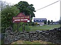
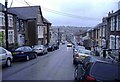
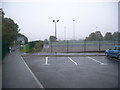
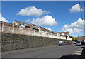
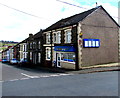
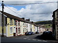
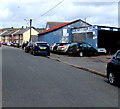
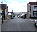
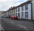
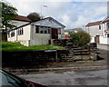
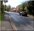
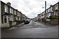
76 photos from this area
Area Information
Key information about the CF81 8PH including its size, population, and administrative classification.
- Area Type
- Postcode
- Area Size
- 9573 m²
- Population
- 1446
- Population Density
- 3943 people/km²
House Prices in CF81 8PH
43
Properties
£101,952
Average Sold Price
£26,000
Lowest Price
£190,000
Highest Price
Showing 43 properties
| Address | Type | Beds | Baths | Last Sale Price | Last Sale Date | |
|---|---|---|---|---|---|---|
| 59 John Street, Bargoed, CF81 8PH | Terraced | 3 | 2 | £155,000 | Jul 2025 | |
| 56 John Street, Bargoed, CF81 8PH | house | - | - | £145,000 | Dec 2024 | |
| 26 John Street, Bargoed, CF81 8PH | Terraced | 3 | 1 | £137,000 | May 2024 | |
| 32 John Street, Bargoed, CF81 8PH | Terraced | 3 | 1 | £175,000 | Sep 2023 | |
| 41 John Street, Bargoed, CF81 8PH | house | - | - | £156,000 | Feb 2023 | |
| 35 John Street, Bargoed, CF81 8PH | house | - | - | £190,000 | Dec 2022 | |
| 36 John Street, Bargoed, CF81 8PH | house | - | - | £157,000 | Dec 2020 | |
| 62 John Street, Bargoed, CF81 8PH | Terraced | 3 | 1 | £75,500 | Nov 2019 | |
| 44 John Street, Bargoed, CF81 8PH | house | - | - | £116,000 | Oct 2019 | |
| 47 John Street, Bargoed, CF81 8PH | Terraced | 3 | 1 | £150,000 | May 2019 |
Page 1 of 5
Energy Efficiency in CF81 8PH
Amenities
Schools
| Rank | School | Type | Entry gender | Ages |
|---|
Explore more schools in this area
Go to Schools tabDemographics
Household Size
One person
most common
Accommodation Type
Houses
most common
Tenure
71
majority
Ethnic Group
White
most common
Religion
N/A
most common
Household Composition
N/A
most common
Age
47
median
Adults (30-64 years)
most common
Household Deprivation
N/A
with no deprivation
NS-SEC
19
in Lower managerial occupations
Explore more demographic insights in this area
Go to Demographics tabPlanning
Planning Constraints
- Flood RiskPremium
- Ramsar Wetland SitesPremium
- Area of Outstanding Natural BeautyPremium
- Protected Nature ReservePremium
- Protected WoodlandPremium
- Crime RiskPremium