Area Overview for NP23 8AU
Photos of NP23 8AU
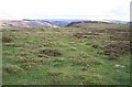
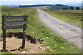
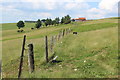
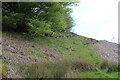
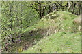
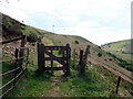
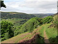
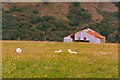
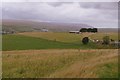
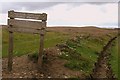
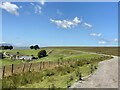
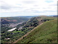
12 photos from this area
Area Information
Key information about the NP23 8AU including its size, population, and administrative classification.
- Area Type
- Postcode
- Area Size
- 1.5 km²
- Population
- 1432
- Population Density
- 565 people/km²
House Prices in NP23 8AU
8
Properties
£264,250
Average Sold Price
£190,000
Lowest Price
£342,000
Highest Price
Showing 8 properties
| Address | Type | Beds | Baths | Last Sale Price | Last Sale Date | |
|---|---|---|---|---|---|---|
| Ty Carreg, Hall Street, Victoria, Ebbw Vale, NP23 8AU | Detached | - | - | £214,000 | Sep 2022 | |
| Maes-y-parc, Hall Street, Victoria, Ebbw Vale, NP23 8AU | Detached | 3 | 3 | £311,000 | Dec 2017 | |
| The Croft, Hall Street, Victoria, Ebbw Vale, NP23 8AU | house | - | - | £342,000 | Jun 2014 | |
| Ty Coed, Hall Street, Victoria, Ebbw Vale, NP23 8AU | Bungalow | 5 | - | £190,000 | Mar 2003 | |
| Mountain View, Hall Street, Victoria, Ebbw Vale, NP23 8AU | Land | - | - | - | - | |
| Troed Rhiw Clawdd Bungalow, Hall Street, Victoria, Ebbw Vale, NP23 8AU | Semi-detached | 3 | 1 | - | - | |
| Bush Inn, Hall Street, Victoria, Ebbw Vale, NP23 8AU | Detached | 5 | 1 | - | - | |
| Troed Rhiw Clawdd Farm, Hall Street, Victoria, Ebbw Vale, NP23 8AU | house | - | - | - | - |
Energy Efficiency in NP23 8AU
Amenities
Schools
| Rank | School | Type | Entry gender | Ages |
|---|
Explore more schools in this area
Go to Schools tabDemographics
Household Size
Two person
most common
Accommodation Type
Houses
most common
Tenure
75
majority
Ethnic Group
White
most common
Religion
N/A
most common
Household Composition
N/A
most common
Age
47
median
Adults (30-64 years)
most common
Household Deprivation
N/A
with no deprivation
NS-SEC
28
in Lower managerial occupations
Explore more demographic insights in this area
Go to Demographics tabPlanning
Planning Constraints
- Flood RiskPremium
- Ramsar Wetland SitesPremium
- Area of Outstanding Natural BeautyPremium
- Protected Nature ReservePremium
- Protected WoodlandPremium
- Crime RiskPremium