Area Overview for NP23 4HB
Photos of NP23 4HB
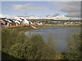
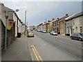
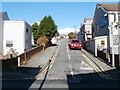
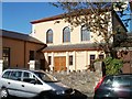
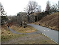
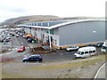
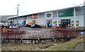
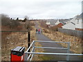
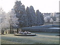
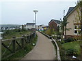
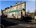
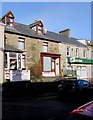
82 photos from this area
Area Information
Key information about the NP23 4HB including its size, population, and administrative classification.
- Area Type
- Postcode
- Area Size
- 1.2 hectares
- Population
- 1373
- Population Density
- 3802 people/km²
House Prices in NP23 4HB
9
Properties
£101,750
Average Sold Price
£41,500
Lowest Price
£200,000
Highest Price
Showing 9 properties
| Address | Type | Beds | Baths | Last Sale Price | Last Sale Date | |
|---|---|---|---|---|---|---|
| 51 Bailey Street, Brynmawr, NP23 4HB | house | - | - | £200,000 | Sep 2024 | |
| 61 Bailey Street, Brynmawr, NP23 4HB | house | - | - | £62,500 | Dec 2014 | |
| 72 Bailey Street, Brynmawr, NP23 4HB | Detached | 3 | - | £103,000 | Nov 2014 | |
| 58 Bailey Street, Brynmawr, NP23 4HB | Terraced | - | - | £41,500 | Mar 1996 | |
| 57 Bailey Street, Brynmawr, Ebbw Vale, NP23 4HB | Terraced | 2 | 1 | - | - | |
| 63B Bailey Street, Brynmawr, NP23 4HB | Flat | - | - | - | - | |
| Welfare Pavilion, Welfare Park, Warwick Road, Brynmawr, NP23 4HB | assembly_leisure | - | - | - | - | |
| 60A Bailey Street, Brynmawr, NP23 4HB | Flat | - | - | - | - | |
| 63 Bailey Street, Brynmawr, NP23 4HB | Terraced | 3 | - | - | - |
Energy Efficiency in NP23 4HB
Amenities
Schools
| Rank | School | Type | Entry gender | Ages |
|---|
Explore more schools in this area
Go to Schools tabDemographics
Household Size
One person
most common
Accommodation Type
Houses
most common
Tenure
55
majority
Ethnic Group
White
most common
Religion
N/A
most common
Household Composition
N/A
most common
Age
47
median
Adults (30-64 years)
most common
Household Deprivation
N/A
with no deprivation
NS-SEC
20
in Lower managerial occupations
Explore more demographic insights in this area
Go to Demographics tabPlanning
Planning Constraints
- Flood RiskPremium
- Ramsar Wetland SitesPremium
- Area of Outstanding Natural BeautyPremium
- Protected Nature ReservePremium
- Protected WoodlandPremium
- Crime RiskPremium