Area Overview for NP11 5DW
Photos of NP11 5DW
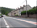
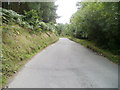
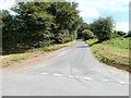
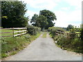
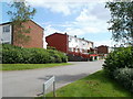
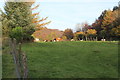
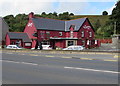
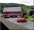
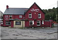
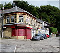
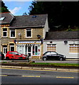
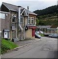
81 photos from this area
Area Information
Key information about the NP11 5DW including its size, population, and administrative classification.
- Area Type
- Postcode
- Area Size
- 9.4 hectares
- Population
- 1437
- Population Density
- 916 people/km²
House Prices in NP11 5DW
18
Properties
£194,357
Average Sold Price
£51,000
Lowest Price
£530,000
Highest Price
Showing 18 properties
| Address | Type | Beds | Baths | Last Sale Price | Last Sale Date | |
|---|---|---|---|---|---|---|
| Silbrook, Swffryd Road, Swffryd, Abertillery, NP11 5DW | house | 3 | 1 | £175,000 | Nov 2024 | |
| Richmond, Swffryd Road, Swffryd, Abertillery, NP11 5DW | Semi-detached | 2 | 2 | £172,500 | Mar 2024 | |
| Swanil, Swffryd Road, Swffryd, Abertillery, NP11 5DW | house | - | - | £530,000 | Nov 2022 | |
| Fernleigh, Swffryd Road, Swffryd, Abertillery, NP11 5DW | house | - | - | £190,000 | Jul 2022 | |
| Ty-craig, Swffryd Road, Swffryd, Abertillery, NP11 5DW | Semi-detached | 3 | 1 | £145,000 | Feb 2021 | |
| Tregenna, Swffryd Road, Swffryd, Abertillery, NP11 5DW | Semi-detached | 3 | 2 | £97,000 | Oct 2017 | |
| Arosfa, Swffryd Road, Swffryd, Abertillery, NP11 5DW | Land | - | - | £51,000 | Jun 1999 | |
| Hillcrest, Swffryd Road, Swffryd, Abertillery, NP11 5DW | Detached | 2 | 1 | - | - | |
| Hafodwen, Swffryd Road, Swffryd, Abertillery, NP11 5DW | Semi-detached | - | - | - | - | |
| Carinya, Swffryd Road, Swffryd, Abertillery, NP11 5DW | Detached | - | - | - | - |
Page 1 of 2
Energy Efficiency in NP11 5DW
Amenities
Schools
| Rank | School | Type | Entry gender | Ages |
|---|
Explore more schools in this area
Go to Schools tabDemographics
Household Size
One person
most common
Accommodation Type
Houses
most common
Tenure
51
majority
Ethnic Group
White
most common
Religion
N/A
most common
Household Composition
N/A
most common
Age
47
median
Adults (30-64 years)
most common
Household Deprivation
N/A
with no deprivation
NS-SEC
15
in Lower managerial occupations
Explore more demographic insights in this area
Go to Demographics tabPlanning
Planning Constraints
- Flood RiskPremium
- Ramsar Wetland SitesPremium
- Area of Outstanding Natural BeautyPremium
- Protected Nature ReservePremium
- Protected WoodlandPremium
- Crime RiskPremium