Area Overview for Brynmawr Community
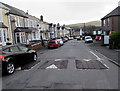
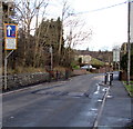
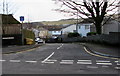
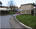
Photos of Brynmawr Community
Area Information
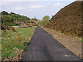
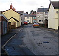
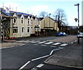
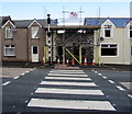
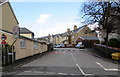
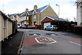
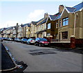
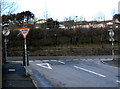
Living in Brynmawr Community offers a distinct experience within the unitary electoral division of Wales. This area covers a compact 5.7 km², creating a closely knit environment where the past and present intersect. The town originated as Gwaun Helygen, a marsh of willows on upland moorland, before expanding rapidly during the early 19th century industrial boom driven by coal mining and the nearby Nantyglo ironworks. You will find historic landmarks shaped by this heritage, including the Round Towers built in 1816 by ironworks owners and the Rehoboth chapel, established in 1827 as the first non-conforming chapel in the region. Daily life here reflects a deep industrial history layered with community resilience. The 1929–1930s Brynmawr Experiment, a Quaker-led initiative to combat unemployment with local furniture-making, remains a testament to the area's collaborative spirit. You are stepping into a setting where significant historical events defined the local character, from the formation of one of Wales' first Boards of Health in 1851 to the consecration of a Jewish synagogue in 1901. While the town boundary touches the historic borders of Monmouthshire and Brecknockshire, the modern community stands as a tangible link to its working-class roots. Prospective buyers seek more than just accommodation; they seek a location with a documented narrative of social innovation and industrial significance that continues to define the local identity.
- Area Type
- Parish
- Area Size
- 5.7 km²
- Population
- Not available
- Population Density
- Not available
Demographics
The demographic profile of Brynmawr Community reveals a mature population with a median age of 70. This significant age skew suggests a neighbourhood where long-term residents and older generations form the core of the community. With a home ownership rate of 58%, nearly six out of ten residents own their homes outright or with a mortgage. This indicates a stable housing stock where residents typically put down roots rather than staying transiently. The data does not specify the exact counts for age ranges beyond the median, nor does it provide detailed breakdowns for household composition, predominant ethnic groups, or religious affiliations for the total population. Consequently, the area appears to function primarily as a retirement destination or a community inhabited by older families who have remained for decades. This age structure influences the local service demand, though it may limit diversity compared to younger urban centres. The absence of specific figures on demographic changes or youthful populations means the community maintains a traditional character. Buyers should understand that living here means engaging with a population defined by its seniority. The 58% ownership figure suggests that while renting is common, the majority of households possess a stake in the property they inhabit, fostering a sense of permanence. Without data on specific household types, the focus remains on the overall stability provided by high ownership rates within this elderly-focused community.
Household Size
Accommodation Type
Tenure
Ethnic Group
Religion
Household Composition
Age
Household Deprivation
NS-SEC
Explore more demographic insights in this area
Go to Demographics tabPlanning
Planning Constraints
- Flood RiskPremium
- Ramsar Wetland SitesPremium
- Area of Outstanding Natural BeautyPremium
- Protected Nature ReservePremium
- Protected WoodlandPremium
- Crime RiskPremium