Area Overview for Beaufort Community
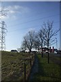
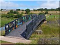
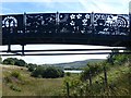
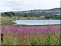
Photos of Beaufort Community
Area Information
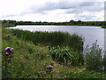
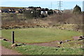
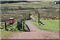
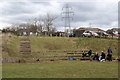
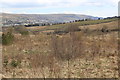
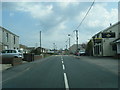
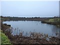
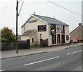
Living in Beaufort Community offers a quiet life within a designated civil parish that spans just 1.7 square kilometres. This settlement lies in Blaenau Gwent, Wales, sitting near the historic boundary between what was once Llangattock parish and Aberystruth. Residents here are surrounded by significant industrial heritage, including the site of the Beaufort Iron Works which operated from 1779 and local quarries dating back to 1794. The area remains defined by its roots as a former industrial settlement established to support the iron industry. You will find the remnants of heavy industry around you, such as Trefil Quarry and extensive earthworks from the nineteenth century. The location is distinct for its deep historical connection to the iron trade rather than modern commercial development. Owning a home in Beaufort Community means living in a place where planning history and industrial archaeology shape the daily environment. The small size of the parish contributes to a contained sense of place where the past is physically present in the landscape.
- Area Type
- Parish
- Area Size
- 1.7 km²
- Population
- Not available
- Population Density
- Not available
Demographics
The people living in Beaufort Community are older than the national average, with a median age of 70 years. This indicates an area where a significant portion of the population enjoys retirement or lives through the final decades of their lives. Sixty-four per cent of households in Beaufort Community own their homes outright, suggesting a long-term resident base rather than a transient population of renters. The demographic profile points to an area established by people staying in the parish for extended periods. Given the low median age, you are unlikely to find a school age population residing locally within these boundaries. The community composition reflects a stable, settled group rather than a mix of young families and commuters. These figures define the social fabric of Beaufort Community as an enclave of older homeowners seeking stability.
Household Size
Accommodation Type
Tenure
Ethnic Group
Religion
Household Composition
Age
Household Deprivation
NS-SEC
Explore more demographic insights in this area
Go to Demographics tabPlanning
Planning Constraints
- Flood RiskPremium
- Ramsar Wetland SitesPremium
- Area of Outstanding Natural BeautyPremium
- Protected Nature ReservePremium
- Protected WoodlandPremium
- Crime RiskPremium