Area Overview for St Boswells
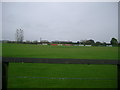
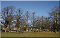
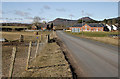
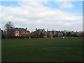
Photos of St Boswells

Area Information
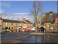
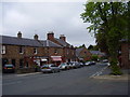
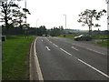
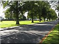
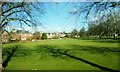
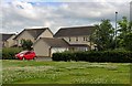
St Boswells is a small built-up area in Scotland, covering 51.6 hectares. It lies in a region where the landscape is shaped by its proximity to the Scottish Borders and the surrounding countryside. The area is served by Tweedbank Railway Station, providing rail links to nearby towns and cities. Within practical reach of residents are several retail outlets, including Morrisons Daily Melrose St, Co-op Newtown, and Spar Mmis, offering everyday convenience. While the population size is not specified, the presence of these amenities suggests a community that balances local needs with access to broader services. Daily life here is likely characterised by a mix of small-town charm and practical infrastructure, with the area’s compact size making it easy to navigate on foot or by bike. For those seeking a quieter lifestyle, St Boswells offers a sense of place without the density of larger urban centres. The area’s connectivity to rail and retail ensures it is neither isolated nor lacking in essentials, making it a viable option for those prioritising accessibility and simplicity.
- Area Type
- Built Up Area 250
- Area Size
- 51.6 hectares
- Population
- Not available
- Population Density
- Not available
Residents of St Boswells have access to a range of local amenities within easy reach. The retail sector includes Morrisons Daily Melrose St, Co-op Newtown, and Spar Mmis, providing essential grocery and convenience services. These stores cater to daily needs, reducing the necessity for longer trips to larger centres. While the area does not have detailed data on dining or leisure options, the presence of multiple retail outlets suggests a community-oriented approach to shopping and daily life. The compact size of St Boswells likely encourages walking or cycling between amenities, fostering a sense of cohesion. For those who enjoy outdoor activities, the surrounding countryside offers opportunities for hiking, cycling, or exploring nearby natural landscapes. The combination of local retail and transport links creates a lifestyle that prioritises convenience without sacrificing the appeal of a smaller, more manageable environment.
Amenities
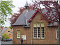
Schools
| Rank | School | Type | Entry gender | Ages |
|---|
Explore more schools in this area
Go to Schools tabDemographics
Household Size
Accommodation Type
Tenure
Ethnic Group
Religion
Household Composition
Age
Household Deprivation
NS-SEC
Explore more demographic insights in this area
Go to Demographics tabPlanning
Planning Constraints
- Crime RiskPremium